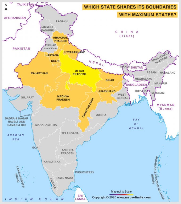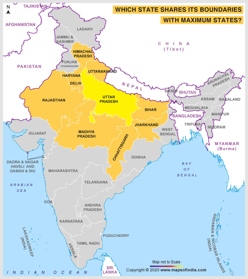

Uttar Pradesh shares its boundaries with maximum states.
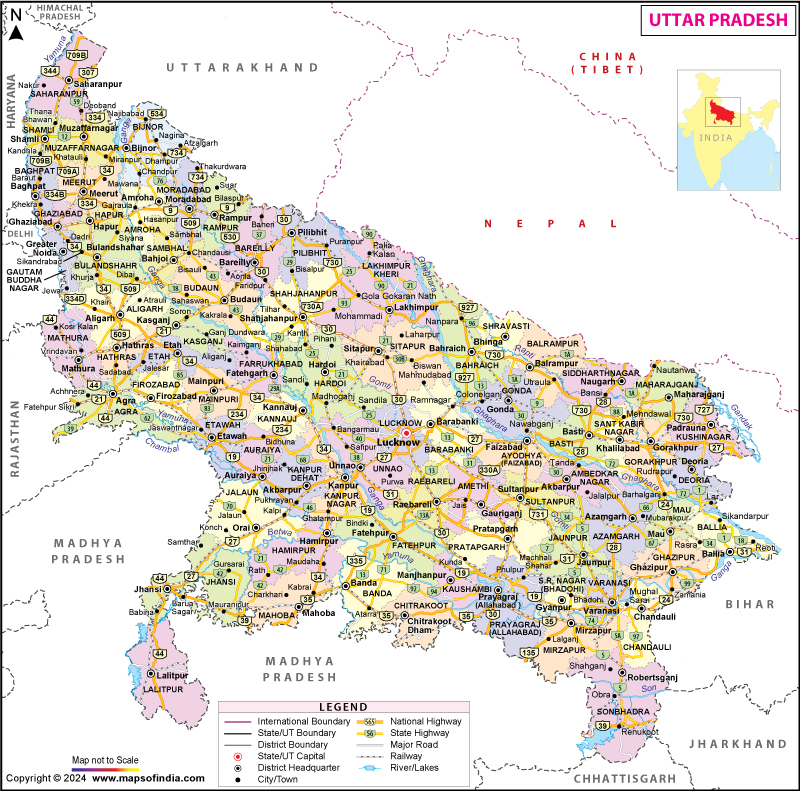
Although Uttar Pradesh comes at the fourth place in terms of area, the state shares its borders with as many as 9 states/Union Territories, apart from sharing an International border with Nepal. In the north, Uttar Pradesh shares its border with the states of Uttarakhand and Himachal Pradesh, in the west with the states of Haryana, Delhi, and Rajasthan, in South with Madhya Pradesh and Chhattisgarh, and in the east with the states of Jharkhand and Bihar.
Assam comes in the second position in terms of sharing boundaries with maximum states. The state shares its boundaries with as many as seven states, apart from sharing international boundaries with Bhutan and Bangladesh. Arunachal Pradesh is in the north, West Bengal is located in the west, Nagaland, and Manipur in the east whereas Meghalaya, Tripura, and Mizoram in the south. Assam is the only state among the seven sisters which shares its borders with the rest of the six states that comprise the seven sisters.
Each of the states of Chhattisgarh, Maharashtra, and Karnataka share their borders with six neighboring states. Chhattisgarh shares its borders with the states of Uttar Pradesh in the north, Madhya Pradesh and Maharashtra in the west, Telangana in the southwest, Odisha in the east, and Jharkhand in the northeast. The state of Maharashtra shares its borders with Madhya Pradesh in the north, Gujarat in the northwest, Goa, and Karnataka in the south, Telangana in the southeast, and Chhattisgarh in the east. Similarly, the state of Karnataka also shares its borders with as many as six states – Maharashtra in the north, Telangana in the northeast, Andhra Pradesh in the east, Tamil Nadu in the southeast, Kerala in the south, and Goa in the west.
Interestingly, Sikkim and Meghalaya are the only two states having borders with only one state – Sikkim has borders with West Bengal only while sharing its international borders with three nations – China, Bhutan, and Nepal. Similarly, Meghalaya has borders with Assam only (in the north and in the east) whereas it has international boundaries with Bangladesh in the west and south.
Related Map:
