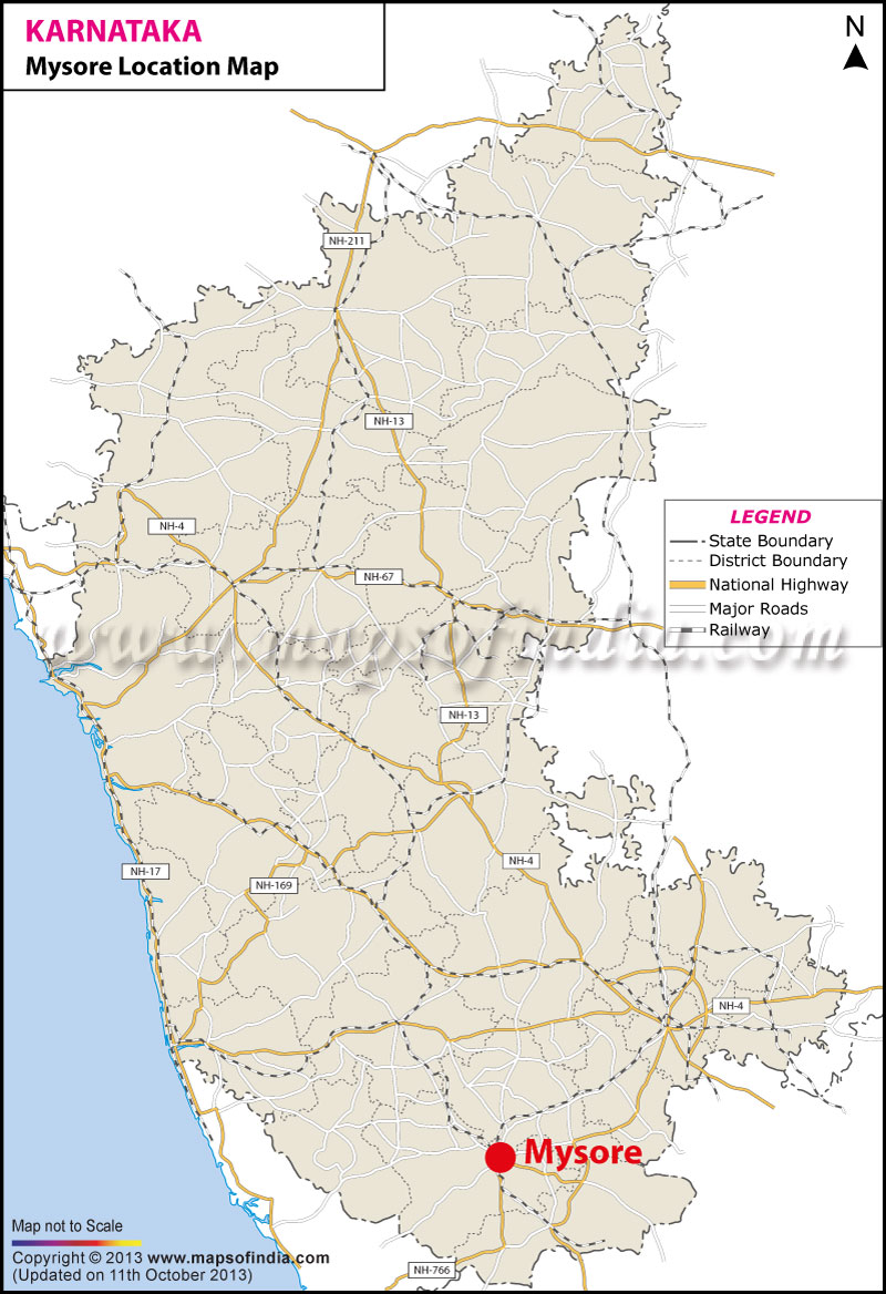
Mysore city is geographically located between 12° 18'' 26 North Latitude and 76° 38' 59'' East Longitude. It is located at an altitude of 2427 feet. It encompasses an area of 6,268 sq. km. and as per 1991 census the total population of the city is 22,81,653. It enjoys a pleasant climate and the temperature varies between 19° C and 30° C.
Mysore city is located in the southern part of the Deccan Plateau. It is beautiful land bordered by luxuriant forests. It is located 140 kms from the city of gardens, Bangalore.Some of the nearby cities and towns of Mysore city are Vanivilasa Puram to its West situated 1.1 nautical meter away, in the North and East lies Narasimharaja Puram which is 1.1 nautical meter away, and to its south lies Kalvadi which is at a distance of 5.8 nautical meter, Chamundi 3.1 nautical meter away and Chamundi Puram at a distance of 3.1 nautical meter.
| City | Mysore |
| State | Karnataka |
| District | Mysore |
| Total Population | 742,261 |
| Total Male | 377,132 |
| Total Female | 365,129 |
| Total Population (0-6 Age Group) | 75,285 |
| Total Male (0-6 Age Group) | 38,368 |
| Total Female (0-6 Age Group) | 36,917 |
| Total Literates | 562,527 |
| Total Male Literates | 301,527 |
| Total Female Literates | 261,000 |
Last Updated on : August 05,2021
Click Here More Information