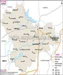
Kolar District Map


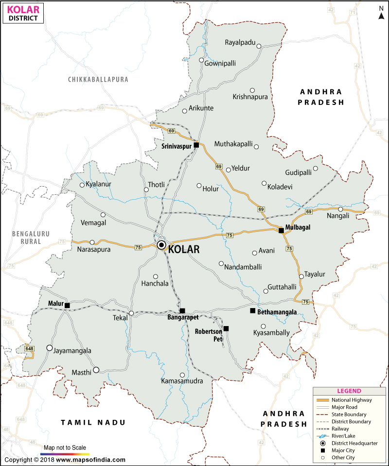
District Map of Kolar

separator Click here for Customized Maps arrow custom map
District Map of Kolar Chikkaballlapura Bengaluru Rural Bengaluru TAMIL NADU ANDHRA PRADESH
Print Email Save Buy Now 
*District Map of Kolar highlights national highway, major roads, railways, rivers, etc. Disclaimer


  Major Districts of Karnataka  
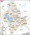
Bangalore District Map Belgaum District Map Gulbarga District Map Shimoga District Map
Bangalore District MapBelgaum District MapGulbarga District MapShimoga District Map
    
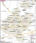
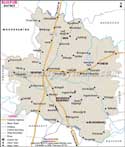
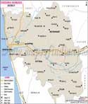
Tumkur District Map Bijapur District Map Dakshin Kannad District Map Mysore District Map
Tumkur District MapBijapur District MapDakshin Kannad District MapMysore District Map
  other districts of Karnataka  >>

Kolar lies in the eastern part of Karnataka. It is famous for its erstwhile gold mines in India.

The gold mines until recently supplied the major portion of gold for India. The economy of Kolar also depends on silk farming and wool spinning.

The region is also suitable for adventure sports. It is also known for its fortresses and temples. The places for tourist attraction are
  • Kolaramma temple
  • Antharagange
  • Nandi Hills,
  • Rangasthala
  • Minakanagurki
  • Viduraswatha
  • Kurudumale
  • Bangaru Tirupati
  • Bethamangala, Budikote
  • Chintamani,
  • Kaivara
  • Gummanayakanapalaya.


Last Updated on : May 17, 2018


-->