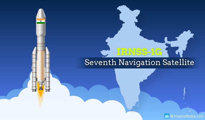
On 28 April 2016, India launched its seventh navigation satellite – IRNSS-1G – successfully in space. With this launch, it was able to finish its mission of setting up a regional navigation system. It is regarded as a landmark development, because with this satellite, the regional navigation system at India’s disposal will be at par with the GPS system commanded by the US. Incidentally, IRNSS-1G is supposed to be the final component of the system of satellites that is supposed to make the regional navigation system work.
India’s satellites till now
Before this particular satellite, India has launched six similar satellites – IRNSS-1A, 1B, 1C, ID, 1E, and 1F. The seven satellites including 1G are expected to cover an area of 1500 km and provide users position information services that are precise. This will happen across India and rest of the region, presumably the Indian Subcontinent.
The entire system
The whole system of regional navigation is made up of nine satellites. Apart from the seven in outer space there are a couple of them stationed on ground as standbys. ISRO (Indian Space Research Organisation) officials have, meanwhile, stated that the whole regional navigation system can work only with four satellites. Once ISRO declares the system to be completely functional, makers of user-end signal receivers will go full tilt into making equipment that can be used at the retail end. Once this happens, costs will come down and more people will be able to use the technology. It is expected that the entire period of checking could take up to four months and only after then can it be declared functional. It will provide standard positioning services that can be used by all, and restricted services, which are basically encrypted services only meant to be used by authorized users.
ISRO officials have also said that it is the seven satellites that make this system a unique one because all other countries have at least 20 satellites.
Launch of previous satellites
IRNSS-1A was the first satellite to be launched in this sequence. It was launched during July 2013. 1B was launched during April 2014, 1C in October that year, and 1D during March 2015. 1E was launched on 20 January 2016 and 1F was launched on 10 March.
Application of satellites
ISRO states that the seven satellites would have a wide range of applications. They may be mentioned as below:
- terrestrial navigation
- aerial navigation
- marine navigation
- vehicle tracking
- fleet management
- terrestrial navigation specifically for travellers and hikers
- disaster management
- integration with mobile phones
- mapping and geodetic data capture
- voice and visual navigation specifically for drivers
Satellite details
The IRNSS-1G’s design life span is that of 12 years. It also has a couple of payloads that are to be used for the purposes of ranging and navigation. The navigation payload is expected to transmit signals on the S-band and L5-band to users. It also has a rubidium atomic clock, which comes with a great deal of precision. The ranging band payload comprises a C-band transponder that will automatically transmit and receive radio signals. This will help ISRO determine correctly the satellite’s range.
All the satellites have come at a cost of INR 150 crore each and the PSLV-XL rocket is worth INR 130 crore. In all, these seven satellites have cost the government INR 910 crore. When other expenses such as related facilities are factored in the costs go up to INR 1420 crore.
ISRO has also stated that since now the seven satellites are operational, they have also come up with the proof of concept for a regional navigation satellite system that will work on an independent basis. This system is supposed to provide accurate readings for distance more than 20 metres all throughout the day. The present system is accurate for 10 metres.
Member of GPS Club?
With the IRNSS (Indian Regional Navigation Satellite System) satellites, India has built something similar to the GPS of the US, Galileo of Europe, Glonass of Russia, and Beidou of China. One would think that this is a privileged club to be a member of. While Glonass and GPS cover the whole world, the satellites of Japan and China are operational only in Asia. Galileo, though, is yet to be put into action. India will join this club formally after it performs a thorough checking of its ground and space systems, apart from the signal receivers functioning at the end of users.
Usage for defence purposes
The IRNSS satellites will be used for defence purposes, apart from having civilian applications. During wartime situations, this navigation system will help Indian armed forces get their positions correct. The beauty of having such satellites is that even if other countries do not provide you such information owing to the situation you will be able to glean such information yourself. This will greatly reduce dependence on others.


