
List of Tehsils in Rudraprayag District | ||
|---|---|---|
| Tehsil/Taluk Name | Total : Rural+Urban Population (2001) in Number | Pin Code |
| Jakholi | N.A | 246141 |
| Rudraprayag | 147,254 | 246171 |
| Ukhimath | 80,185 | 246469 |
Last Updated on : September 17, 2015
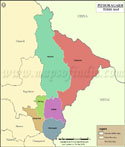
Rudraprayag Tehsil Map |
|
|||||||||

| |||||||||
|
| *Map highlights the name and location of all the tehsils in Rudraprayag district. | Disclaimer |
| Major Tehsils of Uttarakhand |
 |
 |
 |
 |
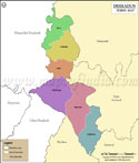
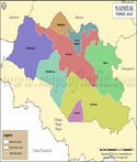
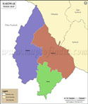
| Dehradun Tehsil Map | Nainital Tehsil Map | Almora Tehsil Map | Pithoragarh Tehsil Map |
 |
 |
 |
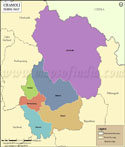 |
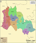
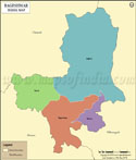
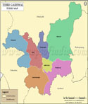
| Haridwar Tehsil Map | Bageshwar Tehsil Map | Tehri Garhwal Tehsil Map | Chamoli Tehsil Map |
| other tehsils of Uttarakhand >> | |||
List of Tehsils in Rudraprayag District | ||
|---|---|---|
| Tehsil/Taluk Name | Total : Rural+Urban Population (2001) in Number | Pin Code |
| Jakholi | N.A | 246141 |
| Rudraprayag | 147,254 | 246171 |
| Ukhimath | 80,185 | 246469 |
|
|