
A river island or river archipelago is any landmass or landform within a river.
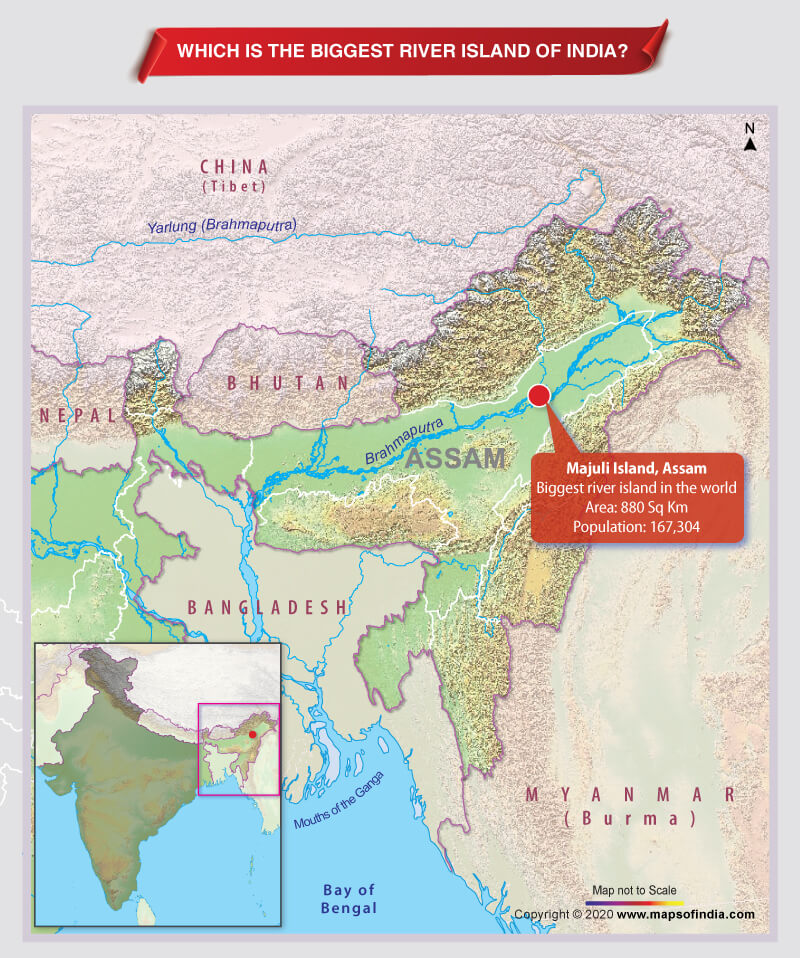
Majuli is the biggest river island in India.
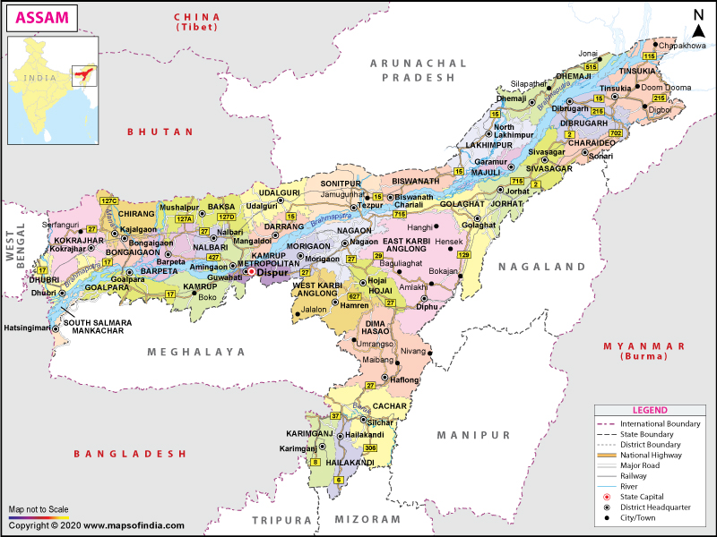
In fact, Majuli is the biggest river island in the world. Located in river Brahmaputra, near Dibrugarh, Assam, Majuli is now the country’s first river island district, having a total area of 880 square kilometers. The island has a population of 167,304 as per the 2011 census. The island was much bigger, about 1,250 square kilometers at the beginning of the 20th century, but due to the changing path of river and soil erosion, the island has lost significant land over time.
Dibru-Saikhowa is an island located near Tinsukia, Assam, and is the country’s only river island National Park. Having an area of approximately 350 square kilometers, Dibru-Saikhowa mainly consists of moist semi-evergreen forests, moist mixed deciduous forests, and grassland. Dibru-Saikhowa is also a haven for many endangered species like Chinese Pangolin, Assamese Macaque, Hoolock Gibbon, Capped Langur, Slow Loris, Water Buffalo, etc.
Umananda Island, located in the Brahmaputra river near Guwahati, is arguably the smallest inhabited river island in the world. For its shape, the British named the island as Peacock Island. Umananda Island is the home of Golden Langur species.
There are three major river islands in River Kaveri. Tradition holds that the islands formed in river Kaveri are consecrated to Sri Ranganathaswamy. Large temples dedicated to the deity were built on each of the three largest islands that fall in the path of river Kaveri. These three island towns that constitute the main pilgrimage centers dedicated to Sri Ranganathaswamy are – Adi Ranga (Srirangapatna), Madhya Ranga (Shivanasamudra), and Antya Ranga (Srirangam). Srirangapatna – a town in Mandya district of Karnataka is located near Mysore city and was the capital of Mysore under Hyder Ali and Tipu Sultan in the later part of the eighteenth century. Shivanasamudra is a small city in Mandya district and is the location of Asia’s first Hydroelectric power stations set up in the year 1902. Srirangam island is a part of city Tiruchirapalli (Trichy) in Tamil Nadu and is famous for Sri Ranganathaswamy Temple – the biggest functioning Hindu temple in the world covering an area of approximately 631,000 square meters.
Bhavani Island is one of the largest river islands in India with an area of 133 acres. It is situated in the midst of the Krishna River at Vijaywada (Andhra Pradesh).
Quibble Island in the Adyar river in Tamil Nadu is situated between Chennai and Adyar. Munroe Island is situated at the confluence of the Ashtamudi Lake and Kallada River in the Kolam district of Kerala.
Munroe island holds an important place in the tourist map of Kerala as the Kallada Jalotsavam – Boat Race conducted here – can be conveniently viewed from the island.
Mandhata island, also known as Shivapuri or Omkareshwar, is an island in the Narmada river in Madhya Pradesh’s Khandwa district. Omkareshwar Jyotirlinga is situated on the southern part of the island.
The island of Divar is located in the Mandovi river approximately 10 kilometers away from Panjim.


