MAPS TYPES
KEY BENEFITS
- Provides a graphic record of the city.
- Aids in researching development of a neigbourhood over time.
- Helps understand the city's past.
- Provides an outline of the city's extended neighbourhoods.
- Provides various kinds of analysis , crime mapping, poverty,....
- ward population, housing statistics, income levels, health and education.
UNIQUE FEATURE
- Available for most of the major cities for India based on authentic and updated sources/references.
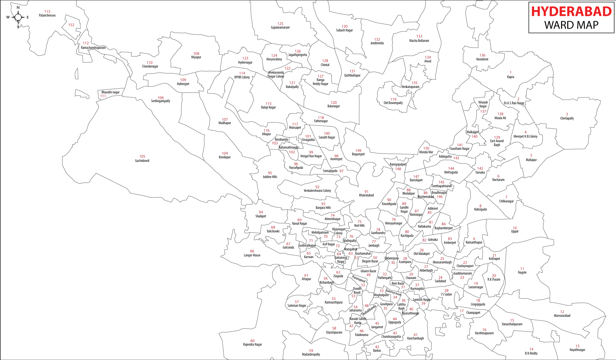
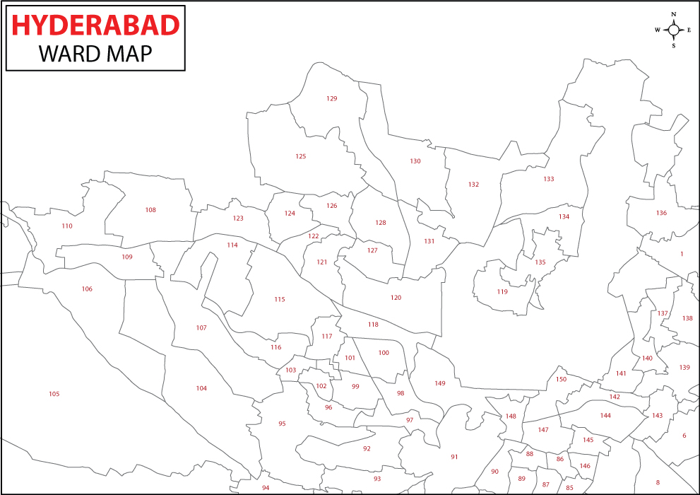
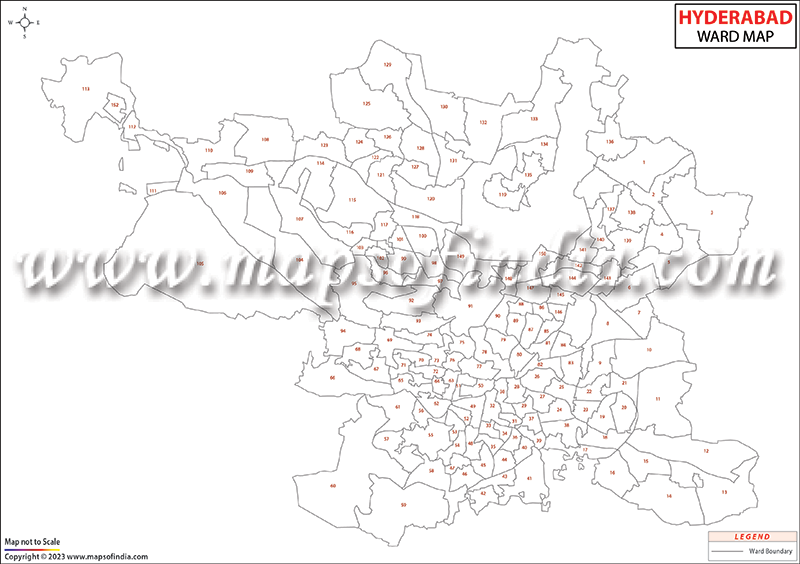
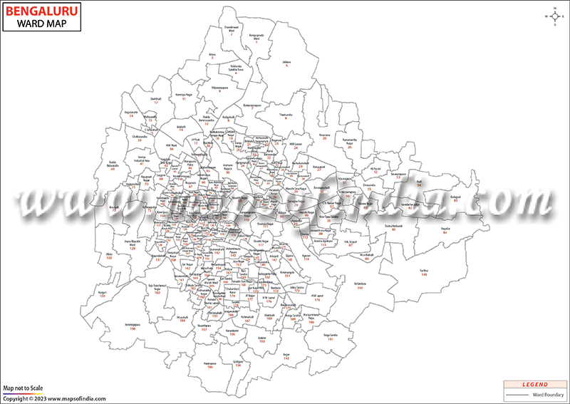
- Wards in accordance with Municipal corporations and Census.
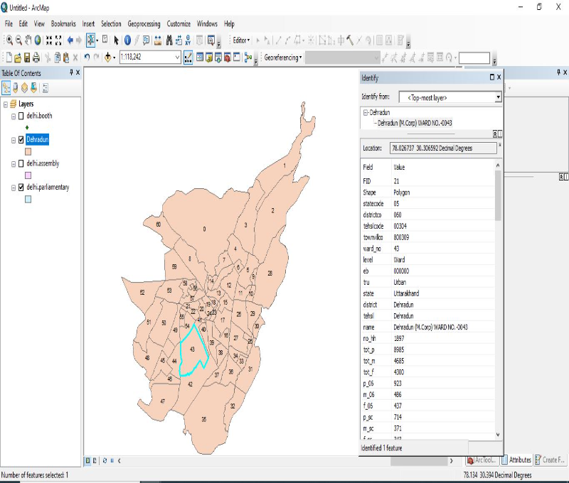
- Available in various formats including GIS.
- GIS data supported with Census 2011 data for most of the cities.
- Maps customizable in terms of size, ...
- format and content as per client's requirement.
FORMAT
 Raster


 Vector


 GIS
GIS 


OUR CLIENTELE
POTENTIAL USER


We appreciate your support in successfully completion of the important National Level task for preparation of power Atlas of india and also power Transmission Atlas of Bihar assigned to CBIP by Govt. of Bihar and a leading PSU i.e.M/s. POSOCO.
The Power Atlas on India a very important project for us and the hard work, excellent cooperation and expertise of Compare Infobase Limited was instrumental in its successful execution. The Atlas is now in use across India by several power utilities.
Maps of India's perseverance to deliver quality and adherence to timeliness has made us stick to them for all our cartography requirements, for a good 9 years now!

WHY CHOOSE US
2500+
Clients Out of
Fortune 500
300+
Project
Languages
120+
Clients
Countries
30+
Valued Corporate
Customers
20+
Years of Mapping
Experience
Fill up the form below to send us a message.
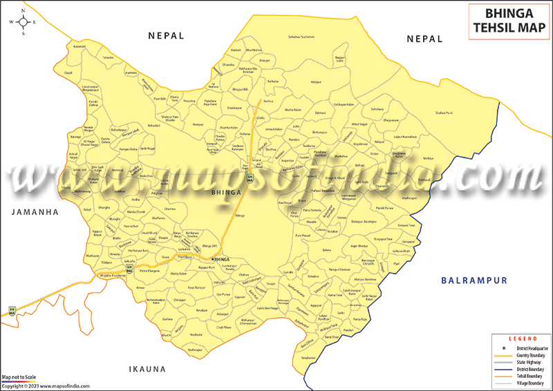
Village Level Maps
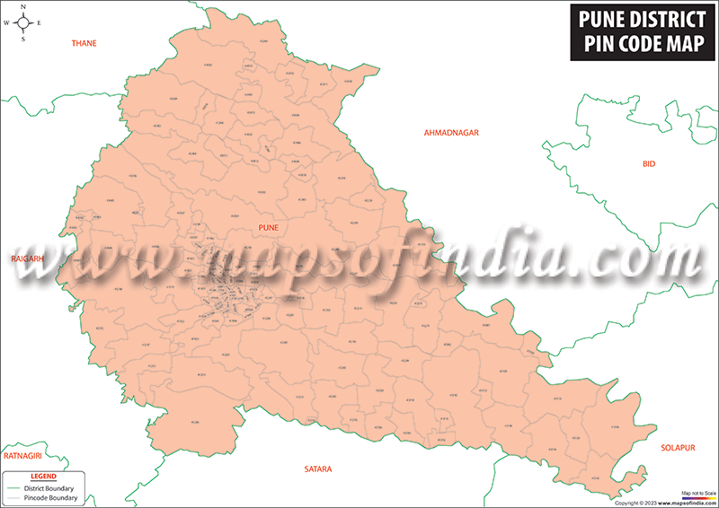
Pin Code Boundary Maps
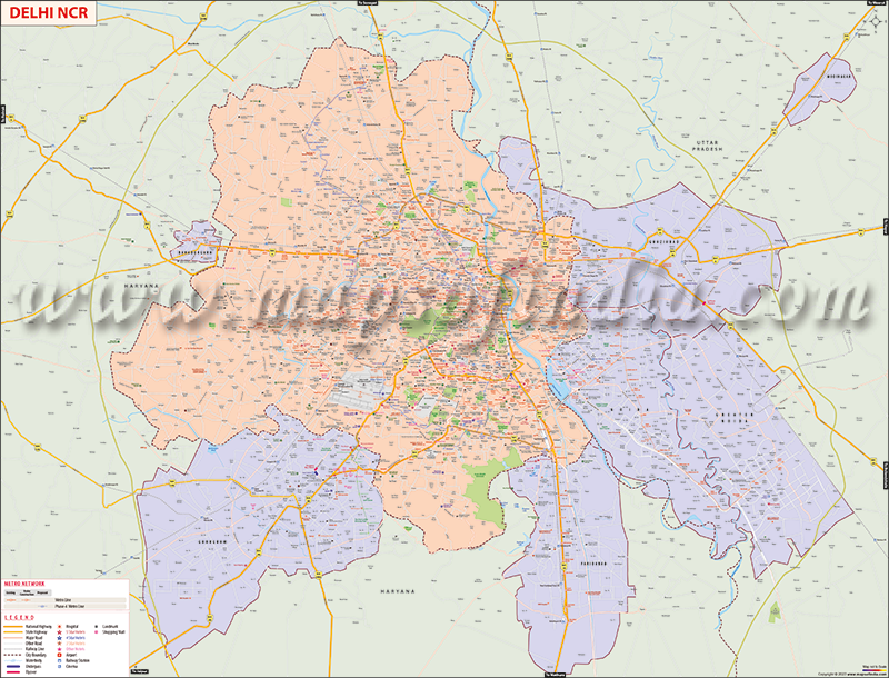
City Locality Maps
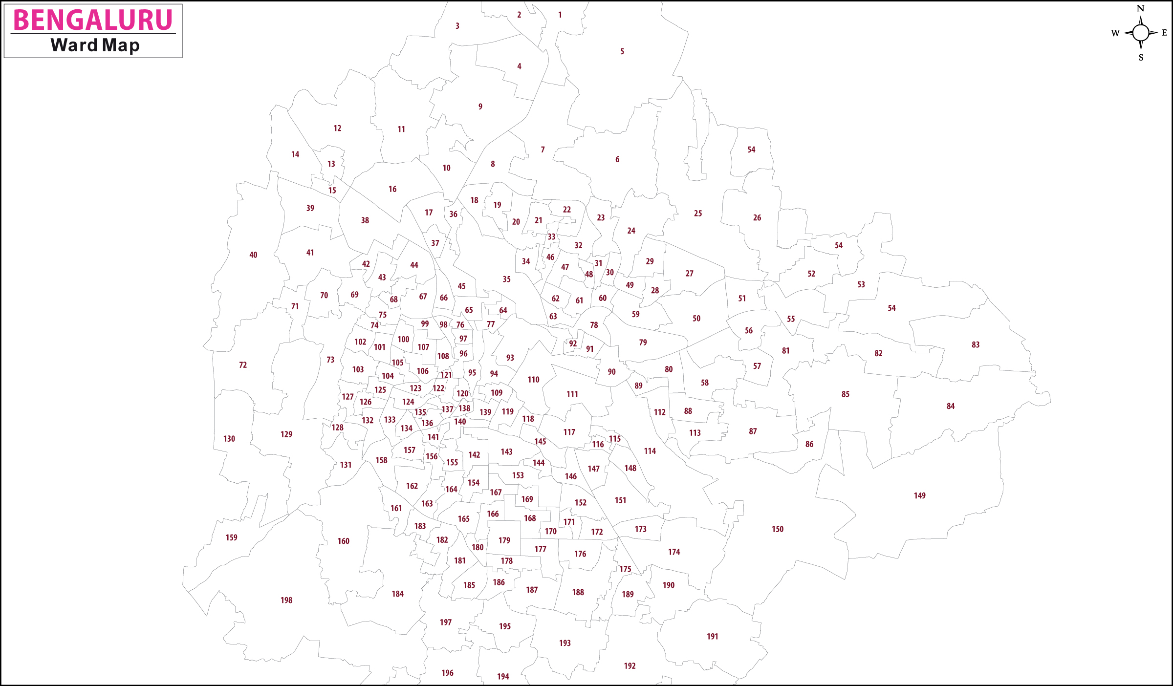
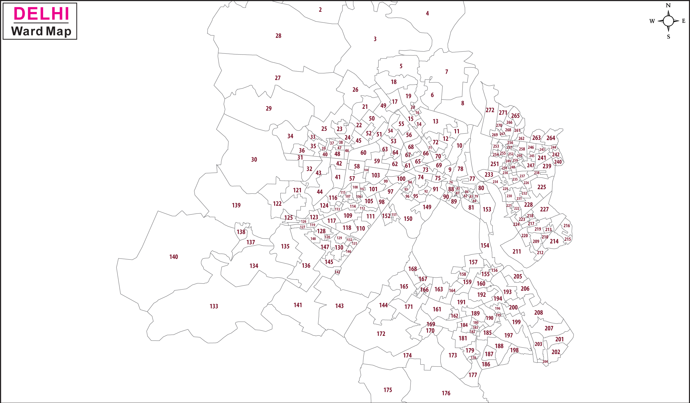
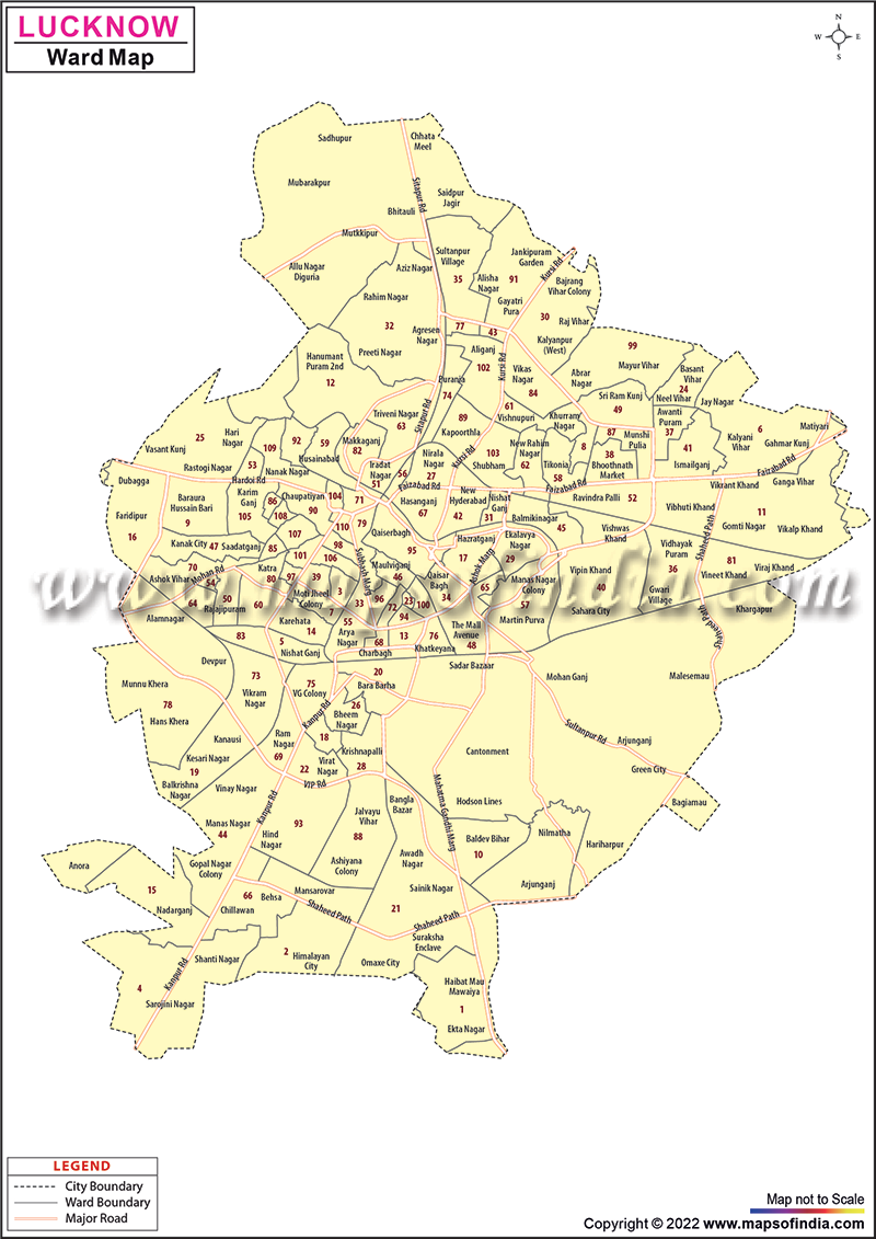
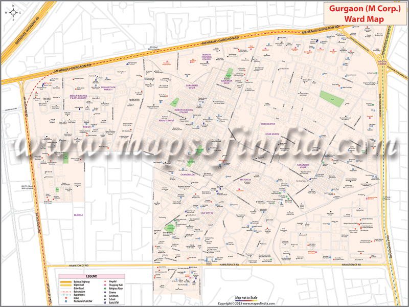
City Ward Boundary
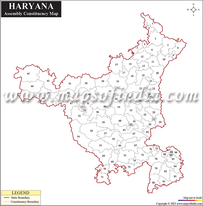
Election Maps