

OUR SERVICES
Ready-to-use GIS shapefiles with updated and verified data.
Geo tagging and real time tracking of various assets.
Geo-database conversions.
Customized mapping solutions.
Data creation & analysis.
Business Solution.
Mapping of cadastral and administrative GIS feature.
KEY BENIFITS
- Reveals the spatial distribution of one of two attribute data sets.
- Displays geographical concepts such as density, distribution, relative magnitudes, gradients, spatial relationships and movements.
- Addresses particular concerns and portrays specific data....
- Aids decision-making purposes: e.g. traffic maps help users make decisions regarding their travel plans.
UNIQUE FEATURE
- MapsofIndia possesses authentic administrative data for entire India:- 28 States, 8 UT's, 765 Districts and around 7000+ Sub districts.
- Specific theme based maps for Country, State, City and Locality as per requirement.
- Offering solutions across industry verticals:-
- Text book/educational maps for publishers.
- Location locator maps for Banks, Dealership, etc.
- Maps for Real Estate for marking of projects at city and locality level.
- Customizable as per requirement in terms of Geographical Extent, level of details, size and format....
- Available in Editable format:- AI/EPS/PDF/PPT for ease of use and in varied sizes.
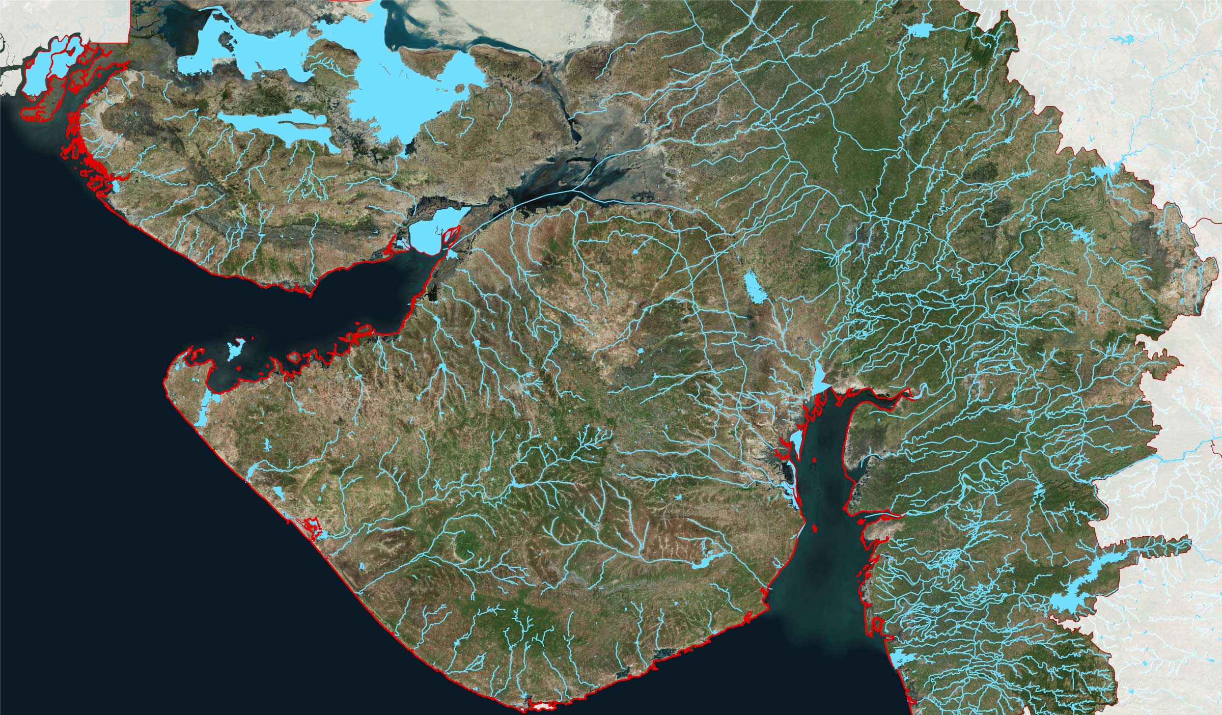
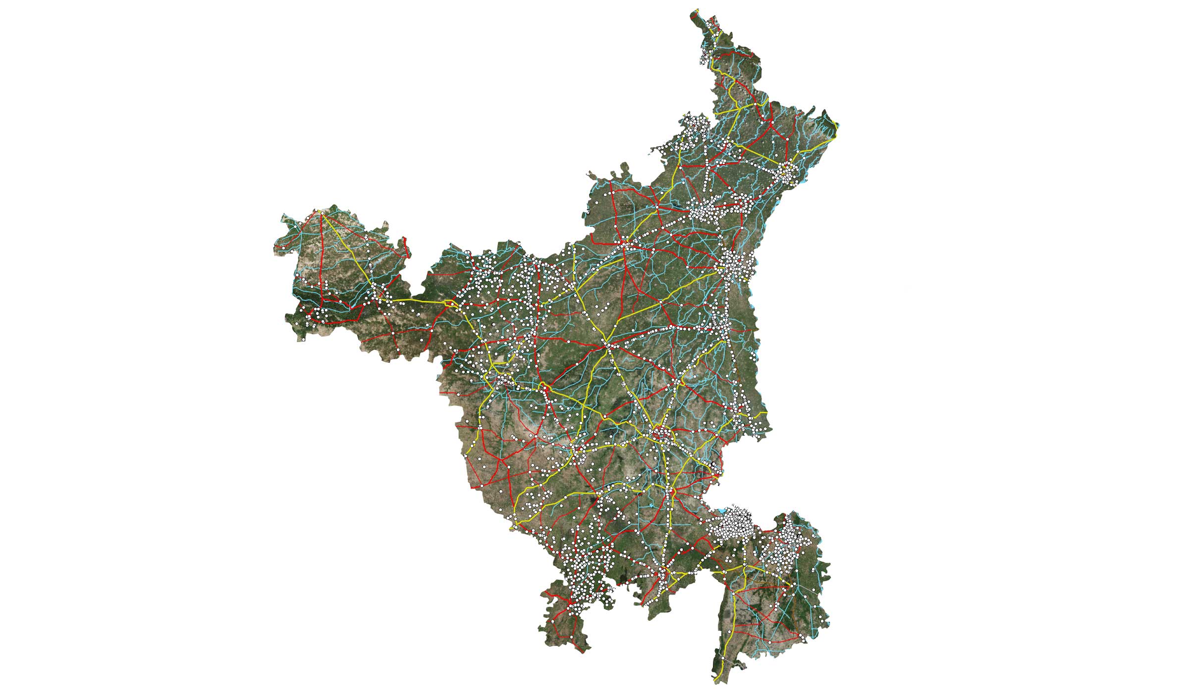
List of Ready Databases
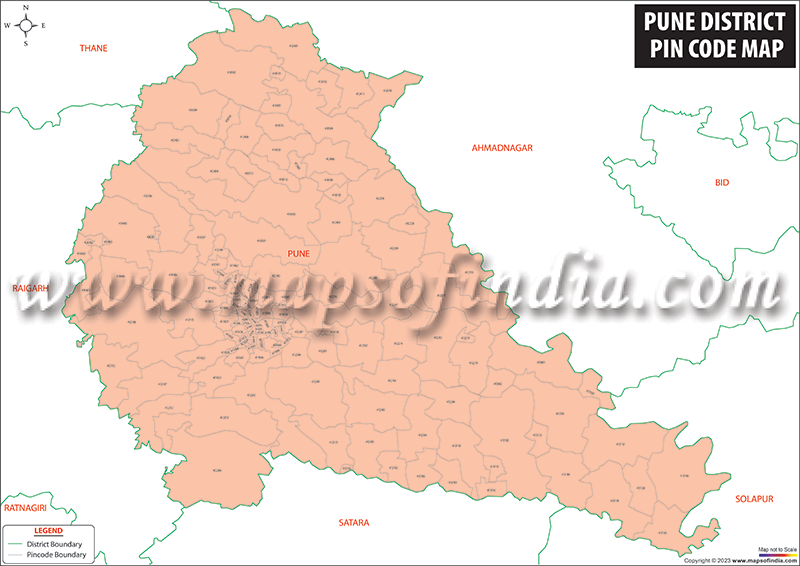
Pan India Pin-code Boundary and Point Data
Pan India Village Boundary and Point Data
Pan India Gram Panchayat Boundary and Point Data
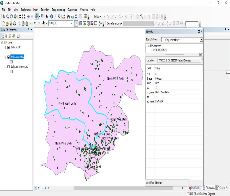
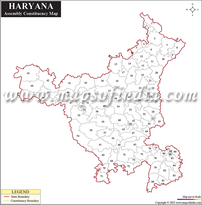
Pan India Parliamentary and Assembly Boundary Data
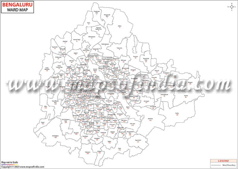
Ward Boundary Data
Road Network
Railway Network
City Level POI’s
FORMAT
 Raster


 Vector


 GIS
GIS 


OUR CLIENTELE
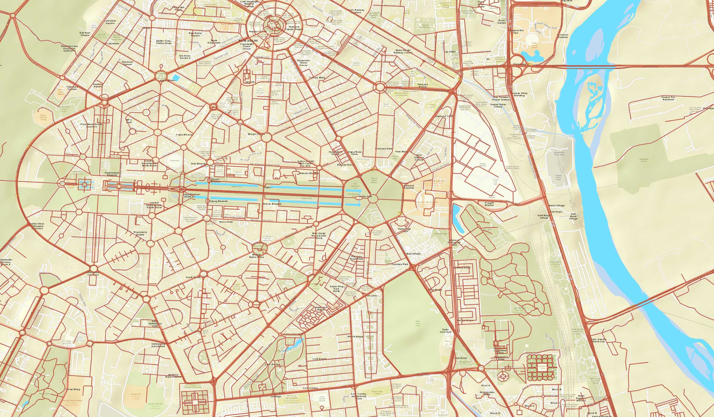
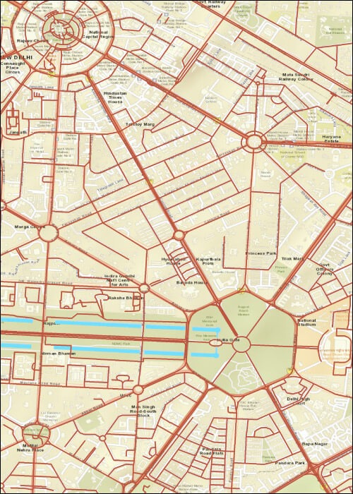
MAPS TYPES
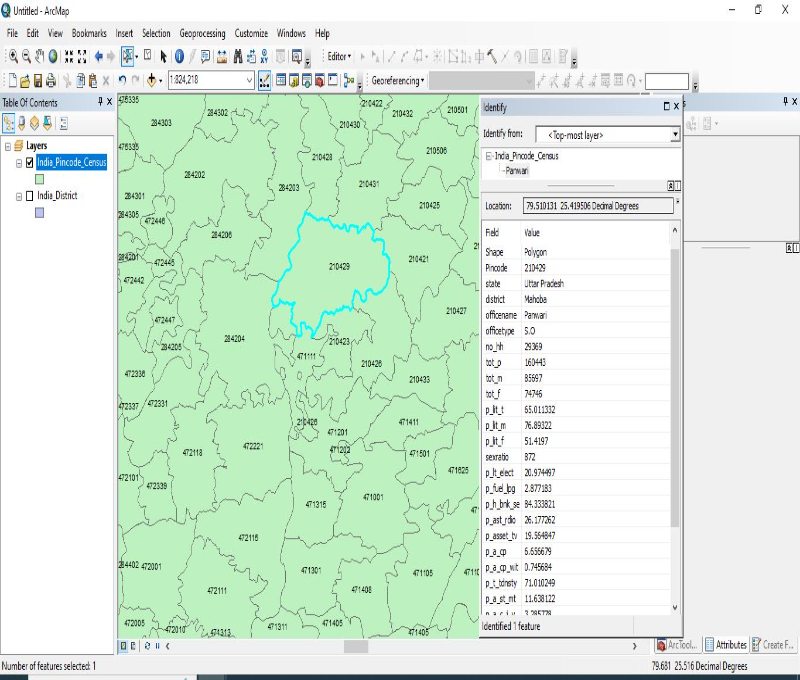
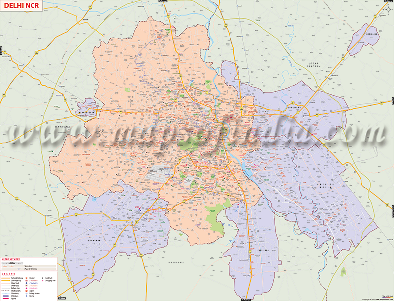
Pan India Pin code Data in GIS
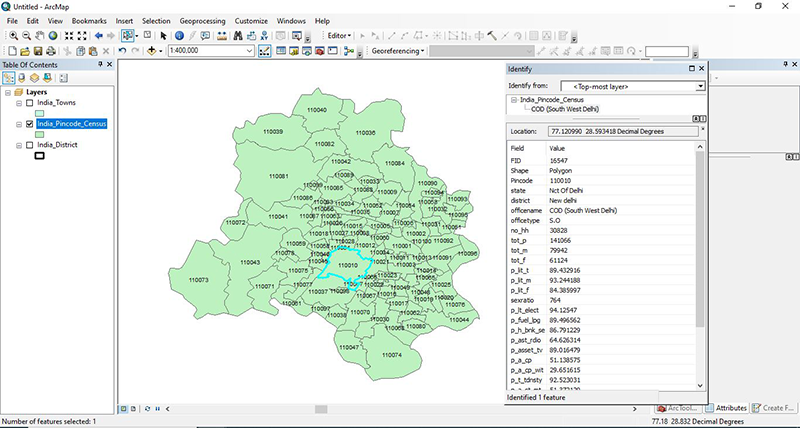
City Wise Pin code Data in GIS
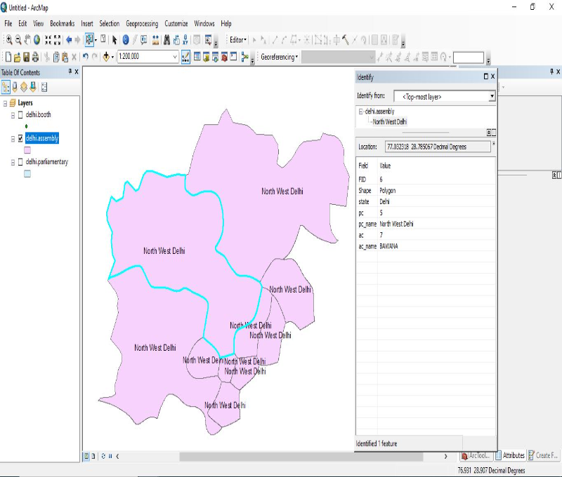
Parliamentary Maps with Assembly
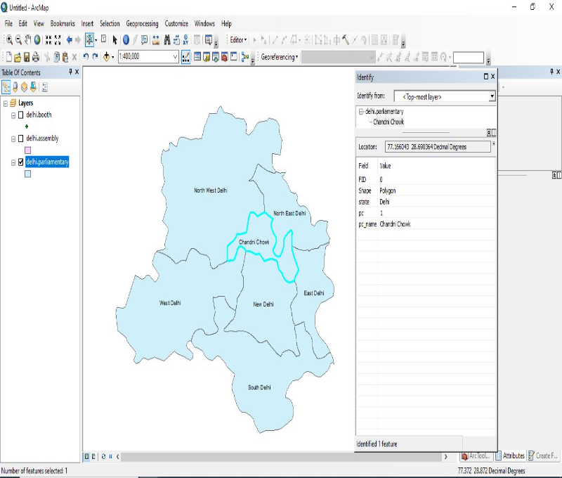
Election Boundary in GIS Format
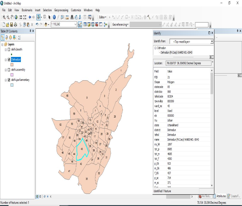
Ward Boundary GIS Data
Major POI in GIS Format


TESTIMONIAL
We appreciate your support in successfully completion of the important National Level task for preparation of power Atlas of india and also power Transmission Atlas of Bihar assigned to CBIP by Govt. of Bihar and a leading PSU i.e.M/s. POSOCO.
Central Board of Irrigation and Power
The Power Atlas on India a very important project for us and the hard work, excellent cooperation and expertise of Compare Infobase Limited was instrumental in its successful execution. The Atlas is now in use across India by several power utilities.
NLDC, POSOCO
Maps of India's perseverance to deliver quality and adherence to timeliness has made us stick to them for all our cartography requirements, for a good 9 years now!

Jones Long Lasalle
WHY CHOOSE US
2500+
Clients Out of
Fortune 500
300+
Project
Languages
120+
Clients
Countries
30+
Valued Corporate
Customers
20+
Years of Mapping
Experience
CONTACT US
Fill up the form below to send us a message.
OTHER SERVICES
Village Level Maps
Pin Code Boundary Maps
City Locality Maps
City Ward Boundary
Election Maps