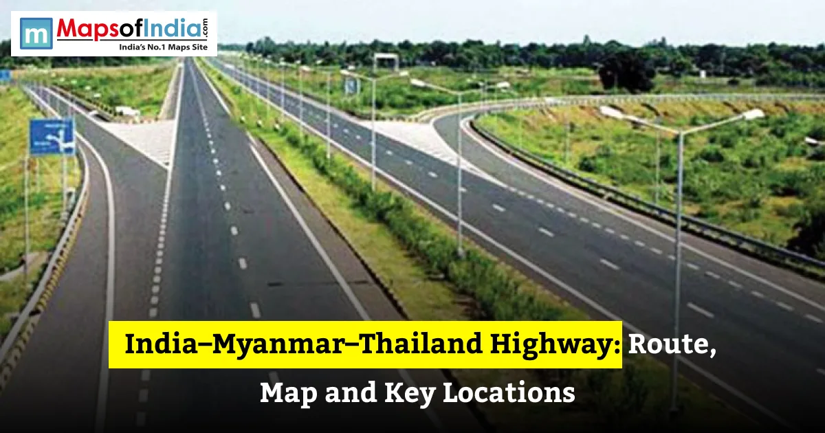
The India – Myanmar – Thailand Highway stretches about 1,360 kilometres. It connects Moreh in Manipur, India, to Mae Sot in Thailand, passing through Myanmar. The India – Myanmar – Thailand Highway was built to improve land links between South Asia and Southeast Asia in line with India’s Act East Policy. It should help trade, investment and people‑to‑people contact. Yet the India – Myanmar – Thailand Highway has faced construction delays and security issues in Myanmar. These problems have kept the India–Myanmar–Thailand Highway from being fully usable end to end. This guide looks at the India – Myanmar – Thailand Highway route, key places, construction progress, main delays, and the road’s economic value.
India – Myanmar – Thailand Highway at a Glance
- Length: 1,360 kilometres
- Starting point: Moreh, Manipur, India
- Ending point: Mae Sot, Tak Province, Thailand
- Countries: India, Myanmar, Thailand
- Proposed and agreed: 2002
- Major construction and upgrades: Done in stages, with India funding road and bridge work in Myanmar
- Policy link: India’s Act East Policy
The India – Myanmar – Thailand Highway length and dates of completion differ a little in different reports.
What Is the India – Myanmar – Thailand Trilateral Highway?
Purpose and Vision
The India – Myanmar – Thailand Trilateral Highway is a road project that links Northeast India, Myanmar, and Thailand. The India – Myanmar – Thailand Trilateral Highway uses existing roads. Adds upgrades, new bridges, or new road sections instead of building a brand-new highway.
How It Fits India’s Act East Policy
India’s Act East Policy seeks economic and strategic ties with Southeast Asia. The India – Myanmar – Thailand Highway could give access to ASEAN markets, broaden transport routes, and open new business opportunities for people in Northeast India.
Proposed Extension to Cambodia, Laos and Vietnam
People have talked about extending the India – Myanmar – Thailand Highway to Cambodia, Laos, and Vietnam. These plans are different from the original India – Myanmar – Thailand Highway, which runs from India to Thailand through Myanmar.
India – Myanmar – Thailand Highway Route
The India – Myanmar – Thailand Highway usually goes from west to east. Some maps show different routes.
1. Moreh, India: A border town in Manipur, the gateway.
2. Tamu, Myanmar: The town on the Myanmar side opposite Moreh.
3. Kalewa: Reached by the Tamu–Kyigone–Kalewa road.
4. Yagyi: Connected by the Kalewa–Yagyi road.
5. Mandalay: A commercial and transport centre in central Myanmar.
6. Meiktila: A key road junction south of Mandalay.
7. Bago region: Included in some descriptions that go toward south‑east Myanmar.
8. Myawaddy: Myanmar’s gateway on the Thai border.
9. Mae Sot, Thailand: The India – Myanmar – Thailand Highway end point in Thailand.
The India – Myanmar – Thailand Highway also links to roads near Taungoo, Thaton, Mawlamyine and Kawkareik. The exact stop‑points depend on the chosen alignment.
Key Locations Along the IMT Highway
Moreh and Tamu: The Border Gateway
Moreh in Manipur and Tamu in Myanmar make the India – Myanmar gateway. Cross‑border buildings and customs offices help manage trade and travel. Security and border rules can change how easy it is to enter.
Kalewa and Yagyi: The Upgraded Road Section
The Kalewa–Yagyi road is 120.74 kilometres long. India has helped upgrade it which is a part of improving road quality in Myanmar.
Mandalay: Myanmar’s Central Hub
Mandalay is a key commercial and transport hub that links central Myanmar with roads heading north and south‑east.
Bago and Myawaddy: The Route to Thailand
South‑east Myanmar gives road links to Myawaddy, the border gateway to Mae Sot in Thailand. How easy the road is depends on the route and the current security situation.
Mae Sot: The Thailand Gateway
Mae Sot sits in Thailand’s Tak Province across from Myawaddy. It is a border trade centre and the east end of the India – Myanmar – Thailand Highway.
Major Sections and Who Is Building Them
India–Myanmar Friendship Road: Tamu to Kalewa
The Tamu–Kyigone–Kalewa section stretches 149.7 km. India has paid for bridge building and road work to make this important stretch better.
Tamu–Kyigone–Kalewa Section
The project covers 69 bridges and their approach roads. The Indian government gave the work as a grant to Myanmar.
Kalewa–Yagyi Section
This 120.74 km section is another major part that India supports. The hard terrain and building needs have caused delays.
Myanmar and Thailand Portions
Other parts use roads that have already been upgraded at times. Myanmar agencies and Thai‑supported projects have helped build parts of the corridor, so responsibility is split instead of one builder.
India – Myanmar – Thailand Highway Status
Reports say the India–Myanmar–Thailand Highway is 70 % finished, but this is only an estimate. The remaining challenges are mainly in Myanmar, where security problems have stopped construction and road travel.
The project first aimed to finish by 2015, but that deadline was missed. In June 2026, India and Myanmar pledged to move delayed connectivity projects. In July 2026, Myanmar leaders also asked for highway work and other transport projects. These promises show focus but not proof that the highway is fully done.
Why Has the IMT Highway Been Delayed?
Security and Political Instability in Myanmar
Conflict and insecurity have stopped road access, building work, and cross‑border movement. This is an obstacle to finishing and operating the whole corridor.
Funding and Coordination Challenges
The project involves three countries, many agencies, and separate road contracts. Coordinating money, building rules, border steps, and transport deals has made things more complex.
Terrain and Monsoon Conditions
Mountains, river crossings, and heavy monsoon rain can make building harder and damage roads. This raises maintenance needs.
Alternative Routes Under Discussion
The Kaladan Multi‑Modal Transit Transport Project provides another way between India and Myanmar using sea, river, and road. It supports connection, but it does not replace the India–Myanmar–Thailand Highway.
Why the India – Myanmar – Thailand Highway Matters
Trade and Economic Integration with ASEAN
A working India–Myanmar–Thailand Highway could lower transport barriers. Strengthen trade links between India and Southeast Asia.
Benefits for Northeast India
Businesses in Manipur and other northeastern states could get better access to regional markets, logistics networks, and investment opportunities.
Tourism and People‑to‑People Links
Better connectivity could make cross‑border tourism and cultural exchanges easier. Only if travel permissions and security conditions allow.
Strategic Significance
The corridor supports India’s engagement with Southeast Asia and offers a possible land route to ASEAN. Its strategic value depends on roads, safe access, and workable cross‑border arrangements.
Conclusion
The India–Myanmar–Thailand Trilateral Highway is a regional connection linking Moreh in India with Mae Sot in Thailand through Myanmar. Even though many parts are there, conflict, construction challenges, and coordination problems have slowed operations. Finishing the corridor could boost trade, tourism, and regional integration for Northeast India.
FAQs
What is the India–Myanmar–Thailand highway?
The India–Myanmar–Thailand Trilateral Highway is 1,360 km long, linking Moreh in Manipur with Mae Sot in Thailand through Myanmar. It aims to improve trade, transport and connection between South and Southeast Asia.
How long is the IMT Trilateral Highway?
The planned India–Myanmar–Thailand Highway is 1,360 km long. Published figures may differ based on the route and the roads counted.
Where does it end? End?
The highway starts at Moreh in Manipur, India, crosses Myanmar, and ends at Mae Sot in Thailand’s Tak Province. It relies on border crossings and roads in all three countries.
Which cities does it pass through?
Major places along the highway are Moreh, Tamu, Kalewa, Yagyi, Mandalay, Meiktila, and Myawaddy before it reaches Mae Sot. Some route plans add towns in southeastern Myanmar depending on the chosen path.
Is the IMT highway complete?
No, the whole India–Myanmar–Thailand Highway has not been confirmed as open from end to end. Reports say about 70 % is done. Security problems and unfinished or disrupted parts in Myanmar remain big obstacles.
Why is the IMT highway delayed?
The main reasons for the delay of the IMT highway are conflict and political instability in Myanmar, difficult terrain, monsoon conditions, construction delays, and coordination issues among the three countries. These problems affect both the completion of infrastructure and reliable access.
Can you drive from India to Thailand today?
Do not assume the full route from India to Thailand is currently suitable for a drive. Border rules, permits, road conditions, and security restrictions can change in Myanmar. Check travel advisories and border requirements before planning any journey.
How is the IMT highway linked to the Act East Policy?
The IMT highway is an infrastructure initiative that supports India’s Act East Policy by improving road connectivity with Myanmar and Thailand. The intended benefits of the IMT highway include trade, investment, tourism, and stronger links with ASEAN economies.