Afghanistan is a landlocked country located in South-Central Asia, at the crossroads of Central Asia and South Asia. It lies between several important countries and occupies a strategically significant position connecting the Indian subcontinent with Central Asia. Afghanistan covers an area of about 652,000 square kilometres and is characterized by rugged mountains, high plateaus, valleys, and arid plains.
Afghanistan on the Map
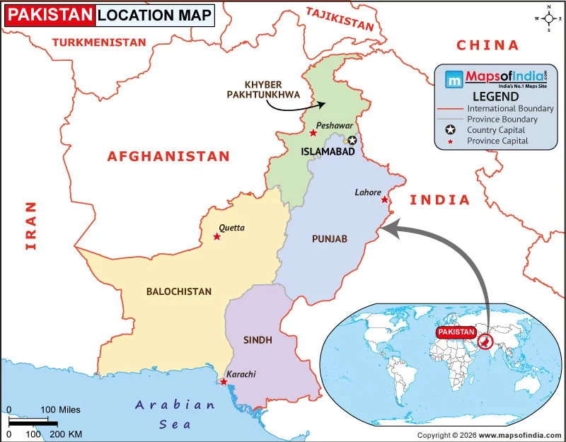
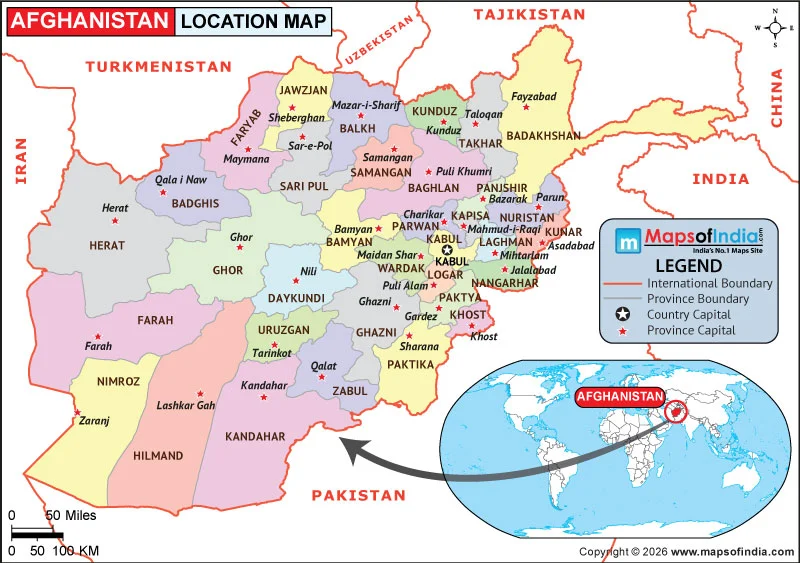
Afghanistan is situated between approximately 29° and 39° north latitude and 60° and 75° east longitude. It shares borders with six countries. Pakistan lies to the east and south, Iran is located to the west, Turkmenistan, Uzbekistan, and Tajikistan are to the north, while a narrow strip of territory known as the Wakhan Corridor extends eastward to meet China.
Afghanistan has no coastline and is therefore one of the world's landlocked countries. Its location places it at an important geographic junction between the Middle East, Central Asia, and the Indian subcontinent.
Neighboring Countries of Afghanistan
Afghanistan's longest international border is with Pakistan, which lies along its eastern and southern sides. Iran borders Afghanistan to the west. To the north are Turkmenistan, Uzbekistan, and Tajikistan. Afghanistan also shares a very short border with China through the Wakhan Corridor in the country's far northeast.
The country's location has historically made it an important route between different regions of Asia. Mountain passes and valleys have connected Afghanistan with neighboring territories for centuries.
Physical Geography and Location
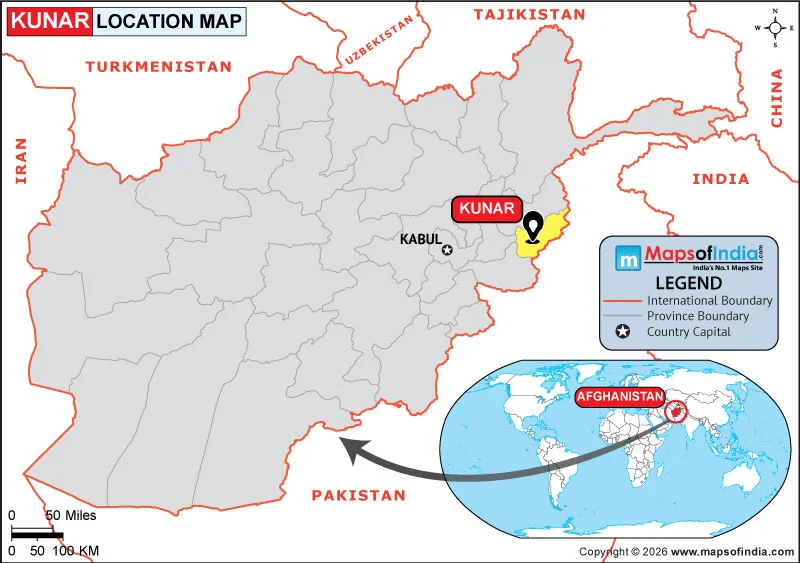
Much of Afghanistan is mountainous, with the Hindu Kush forming the country's major mountain system. The mountains extend across the central and northeastern parts of the country and strongly influence its climate, settlements, and transportation routes. Noshaq, located in the northeastern part of Afghanistan near the Pakistan border, is the country's highest peak.
The northern areas contain plains and valleys, while the southwest includes extensive dry and desert landscapes. Major rivers, including the Amu Darya, Kabul River, Helmand River, and Hari River, are important geographical features.
Afghanistan's Capital and Major Cities
Kabul, located in eastern Afghanistan in a valley surrounded by mountains, is the country's capital and largest city. Other important cities include Kandahar in the south, Herat in the west, Mazar-i-Sharif in the north, and Jalalabad in the east.
Afghanistan's central location and varied terrain have influenced the distribution of its population and major urban centres.
Why Is Afghanistan's Location Important?
Afghanistan's position between Central and South Asia has given it considerable geographic and historical importance. Its territory has long provided connections between regions through mountain passes and trade routes. Today, its location continues to make Afghanistan an important part of the broader geography of Central and South Asia.