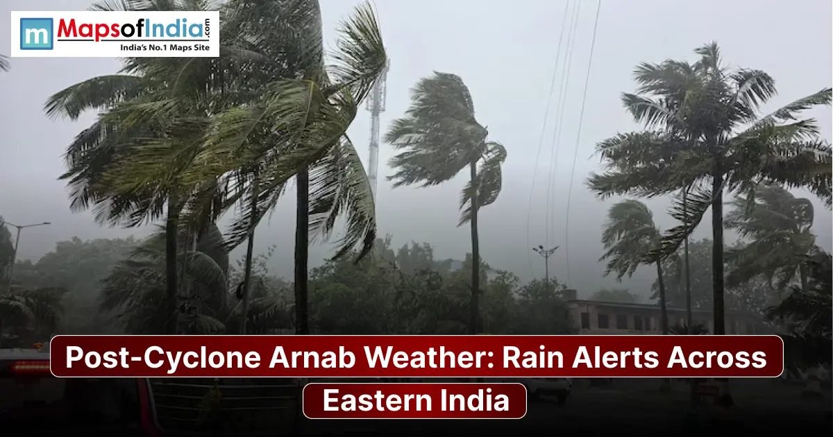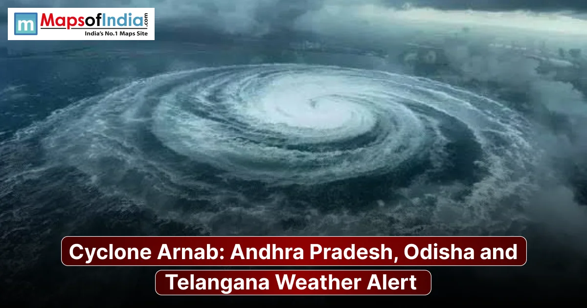
Cyclones are among the most significant weather systems affecting India's eastern and southern coastlines, particularly during the post-monsoon season. The Bay of Bengal is known for generating tropical storms that can bring heavy rainfall, strong winds, rough seas and coastal flooding. Cyclone Murasu 2026 has brought attention to the importance of weather monitoring, early warnings and preparedness across vulnerable coastal regions.
The India Meteorological Department (IMD) plays a crucial role in tracking cyclonic systems, monitoring changes in their intensity and issuing weather advisories for potentially affected areas. Understanding the cyclone's projected movement, possible impacts and safety precautions is essential for residents, fishermen, coastal communities and travellers.
Cyclone Murasu 2026: Latest IMD Forecast and Storm Movement
Cyclone Murasu developed over the southwest and adjoining west-central Bay of Bengal after a low-pressure system intensified into a cyclonic storm. It further intensified into a very severe cyclonic storm on November 2, 2026, on a north-westerly course towards the Indian coastlines.
The latest IMD forecast, as of Nov 2, says that the cyclone is likely to touch the south Andhra Pradesh coast near Nellore and Narsapur, near Ongole. The forecasted landfall period is from late Monday night, November 2, into the early morning of Tuesday, November 3.
The storm will pack maximum sustained winds of 100-110 kmph and will reach 120 kmph as gusts during its landfall. It is being closely monitored for movement and intensity, as any slight change in its track can make a difference in the timing and distribution of rainfall in coastal districts.
IMD Issues Red Alert for Andhra Pradesh and Coastal Regions
The IMD has issued a red alert for the coast of Andhra Pradesh and neighbouring north Tamil Nadu due to the threat of very heavy rainfall, wind and rough seas.
But as it is projected to make landfall in south coastal Andhra Pradesh, it is expected to have the highest impact in that region. Some of the areas that are in need of better preparation are the districts of Nellore, Prakasam, Bapatla, Krishna and the coastal areas around them.
The coastal administration has been warned to be on alert for emergencies such as floods and damage to infrastructure and transportation. Fishermen are warned not to go out to sea; residents in at-risk coastal settlements are urged to heed official evacuation orders.
During the landfall, IMD has also warned of storm surge about 1-1.5 metres above the astronomical tide in the low-lying areas of the south coastal Andhra Pradesh. The coastal flooding threat is very high in Bapatla, Krishna and Prakasam districts.
State-Wise Weather Impact of Cyclone Murasu 2026
Although Andhra Pradesh is expected to experience the direct impact of Cyclone Murasu, its influence may extend to neighbouring states through widespread rainfall, thunderstorms and gusty winds.
1. Andhra Pradesh
Andhra Pradesh is in the most vulnerable position to Cyclone Murasu. Heavy to extremely heavy rainfall is likely over the coastal districts, especially on November 2nd and 3rd. Temporary structures, electric poles, trees, and agricultural fields may be damaged by strong winds.
Coastal villages and towns could also be inundated by excessive rainfall and storm surges. Authorities have beefed up emergency plans to control potential floods and other cyclone-related disturbances.
2. Tamil Nadu
Northern coastal Tamil Nadu, including Chennai and surrounding districts, may experience rainfall and thunderstorms under the influence of the cyclone. Rough sea conditions and strong winds are also expected in some coastal areas.
The residents should continue to be alert to the possibility of weather changes, especially in areas where rain has fallen from other weather systems.
3. Odisha
Rainfall is likely to improve over Odisha starting from November 2, with the intensity likely to further increase on November 3 & 4, followed by a decrease on November 5. Depending on the cyclone motion, heavy to very heavy rainfall is expected in coastal and southern districts. Heavy to very heavy rainfall may occur depending on the cyclone motion in coastal and southern areas.
The weather system could also have an impact on wind conditions over portions of the Odisha coastline.
4. Telangana
The circulation of the cyclone will bring rainfall and thunderstorms to some parts of Telangana. Intensity and distribution of rain, however, would depend on the movement of the storm after crossing the Andhra Pradesh coast.
Coastal Warnings and Safety Measures
Cyclones, even weakened over land, can cause substantial damage! Some of the biggest dangers of these weather systems are strong winds, floods, downed trees, and electrical outages.
Vulnerable coastal residents need to take precautions and adhere to any instructions issued by local authorities.
Important safety measures include:
- Avoid visiting beaches, coastal roads and other exposed locations during severe weather.
- Fishermen should strictly follow restrictions on fishing and sailing activities.
- Keep essential medicines, drinking water, food supplies and emergency lighting ready.
- Secure loose objects, temporary structures, windows and outdoor equipment.
- Avoid standing near electric poles, damaged power lines and large trees during strong winds.
- Move to designated cyclone shelters if evacuation orders are issued.
- Avoid crossing flooded roads, streams and overflowing bridges.
Farmers should also take precautions to protect harvested crops, livestock and agricultural equipment from heavy rainfall and strong winds.
Why Is the Bay of Bengal Vulnerable to Cyclones?
Bay of Bengal is one of the most cyclonic areas in the world. It has warm sea surface temperatures, high moisture, and favourable atmospheric conditions that favour the formation and intensification of tropical cyclones.
The eastern coast of India, especially the states of Andhra Pradesh, Odisha, West Bengal, and Tamil Nadu, is prone to these weather systems. Cyclones forming during the post-monsoon season can become particularly dangerous when they move towards densely populated coastal settlements.
The shallow coastal waters and low-lying geographical features of certain regions can also increase the risk of storm surges and coastal flooding.
What to Expect Next?
Cyclone Murasu is expected to remain a major weather concern for India's eastern coastline as it approaches south Andhra Pradesh. The projected landfall between Nellore and Narsapur, close to Ongole, makes the coming hours particularly important for coastal communities.
Heavy rainfall, strong winds and possible storm surges could affect several districts during the landfall period. Neighbouring states, including Tamil Nadu and Odisha, may also experience changing weather conditions.
The IMD and state disaster management authorities are monitoring the situation and coordinating preparedness measures. Residents should continue following official weather bulletins and local administration advisories rather than relying on unverified updates.
The impact of Cyclone Murasu will ultimately depend on its intensity, movement and weakening pattern after landfall. Timely warnings, evacuation measures and public cooperation will remain essential in reducing the potential damage.
FAQs
1. What is Cyclone Murasu 2026?
Cyclone Murasu 2026 is a tropical cyclonic storm that developed over the Bay of Bengal. It has raised concerns along India's eastern coastline due to the possibility of heavy rainfall, strong winds, rough seas and coastal flooding.
2. Where is Cyclone Murasu expected to make landfall?
Cyclone Murasu is forecast to make landfall along the south Andhra Pradesh coast, between Nellore and Narsapur, close to Ongole. The projected landfall window is late November 2 to early November 3, 2026.
3. Which states will be affected by Cyclone Murasu?
Andhra Pradesh is expected to experience the direct impact of Cyclone Murasu. Parts of Tamil Nadu, Odisha and Telangana may also experience heavy rainfall, thunderstorms and gusty winds depending on the cyclone's movement.
4. What is the expected wind speed of Cyclone Murasu?
Cyclone Murasu is forecast to bring sustained wind speeds of approximately 100–110 kmph, with gusts reaching up to 120 kmph during landfall. Wind intensity may change as the system moves towards the coast.
5. Has the IMD issued a red alert for Cyclone Murasu?
The India Meteorological Department has issued a red warning for vulnerable coastal areas of Andhra Pradesh and adjoining regions. The warning indicates the possibility of extremely heavy rainfall and hazardous weather conditions.
6. Will Cyclone Murasu affect Chennai and Tamil Nadu?
Yes, northern coastal Tamil Nadu, including Chennai and surrounding districts, may experience rainfall, thunderstorms and gusty winds due to the cyclone's influence. The extent of the impact will depend on its movement and intensity.
7. What precautions should people take during Cyclone Murasu?
People should remain indoors during strong winds, avoid beaches and coastal areas, keep emergency supplies ready and stay away from damaged electric poles and power lines. Fishermen should avoid venturing into the sea, and residents in vulnerable areas should follow evacuation instructions issued by local authorities.