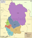
Garhwal Tehsil Map


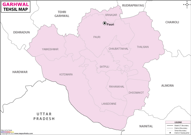
Tehsil Map of Garhwal

separator Click here for Customized Maps arrow custom map
 Tehsil Map of Garhwal Hardwar Hardwar Dehradun Tehri Garhwal Rudraprayag Chamoli Almora Nainital UTTAR PRADESH
Print Email Save Buy Now 
*Garhwal Tehsil Map highlights the National Highways, Major Roads, District Headquarter and etc in . Disclaimer


  Major Tehsils of Uttarakhand  
Dehradun Tehsil Map Nainital Tehsil Map Almora Tehsil Map Pithoragarh Tehsil Map
Dehradun Tehsil MapNainital Tehsil MapAlmora Tehsil MapPithoragarh Tehsil Map
    
Haridwar Tehsil Map Bageshwar Tehsil Map Tehri Garhwal Tehsil Map Chamoli Tehsil Map
Haridwar Tehsil MapBageshwar Tehsil MapTehri Garhwal Tehsil MapChamoli Tehsil Map
  other tehsils of Uttarakhand  >>

List of Tehsils in Garhwal District

Tehsil/Taluk NameTotal : Rural+Urban Population (2001) in NumberPin Code
ChaubattakhalN.AN.A
Dhoomkot44,010246277
Kotdwara193,997246149
Lansdone169,788246155
Pauri146,074246001
SatpuliN.A246172
Srinagar49,800246174
Thailisain93,409246285
YamkeshwarN.A246281


Last Updated on : 21 September 2023