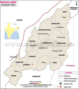
The railway maps of Nagaland show the important railway stations and junctions in the state of Nagaland, an important state in Northeast India. The Dimapur Railway Station is the principal railway station in the state. This railway station functions as a major transportation hub in the state and is used by both domestic tourists and international travelers alike.
For arriving at the state of Nagaland by rail, visitors need to board a train that stops at the Dimapur Railway Station.
Touring the state of Nagaland by rail is quite suitable for the travelers. Dimapur is the main railhead in Nagaland and it is well linked to Guwahati which serves as the entrance to Northeast India. Nevertheless, the railway network in the state of Nagaland is not so huge.
Broad gauge rail lines cover approximately 12.84 km or 7.98 miles distance. The division of Indian Railways which operates in Nagaland is the Northeast Frontier Railways.
The railway station at Dimapur connects Nagaland to the extensive railway network of India. The railway lines in the state link it to other stations in the country such as Guwahati, Dimapur, Lumding, Silchar, Tinsukia, and Haflong and to other bordering nations such as Bangladesh and Nepal.
The railway transportation network of Nagaland functions as a major assistance in its commercial activities and associations with the other states in India. It also works as a dependable mode for travelers to trip across the state, particularly in the areas regarded as the most popular tourist destinations.
Last Updated on June 24, 2026