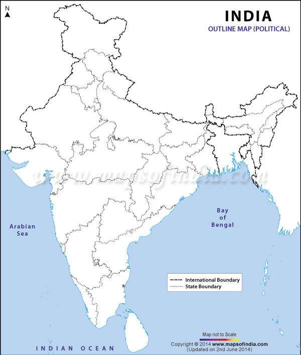
The India Political Map - download is for students, parents and teachers to download and mark different locations in India in the map. Students can download the map and mark the following in the map. Parents can take the printout and ask the children to mark the different places in the downloaded map of India.
This is a free India Outline Map - Political which can be downloaded and can be used to improve the knowledge of India. Do it yourself and let's together know more about India.
Download Free India Outline Map - Political |
|
|||||
|
|||||
|
|
Disclaimer: All efforts have been made to make this image accurate. However Mapping Digiworld Pvt Ltd and its directors do not own any responsibility for the correctness or authencity of the same.
Download the map of India and mark the following points
In the political map of India mark the following
Last Updated on: April 02, 2026
In the political map of India mark the following
Last Updated on: April 02, 2026
| Download India Outline Map - Political Free in Following formats |