The Major Islands of India span two very different seas. One sits in the Bay of Bengal. The other sits in the Arabian Sea. Together, these island groups make up 1,382 islands in total. They matter for defence. They matter for biodiversity. They matter for tourism too. This guide covers the Islands of India location, their origins, and the geographic features of Indian islands that make each group unique. By the end, you will understand exactly how the Andaman and Nicobar Islands differ from the Lakshadweep Islands, and why both matter so much to the country as a whole.
Overview of India's Island Groups
India holds two major archipelagos, and together they define much of the story of the major islands of India. The Andaman and Nicobar Islands sit in the Bay of Bengal, stretching toward Myanmar and Indonesia. The Lakshadweep Islands sit far to the west, in the Arabian Sea off the Kerala coast. Both groups extend India's maritime boundary well beyond its mainland coastline. Both also hold rich, fragile ecosystems worth protecting. This knowledge of the Islands of India's location will help explain why these two areas are so different in appearance and operation, albeit both part of the same country.
Andaman and Nicobar Islands
Location and Extent
This archipelago stretches across the Bay of Bengal, making up one of the most significant parts of the Islands of India location map. It runs close to Myanmar in the north. It edges toward Indonesia in the south. In total, it comprises 572 islands, though only a small fraction are inhabited. The full chain stretches for roughly 800 km, making it one of the longest island systems anywhere in the country.
Formation and Geology
These islands formed through tectonic collision, one of the most striking geographic features of the Indian islands anywhere in the country. The Indian Plate pushed against the Burma Plate over millions of years. That pressure folded the seabed upward, creating the ridge that now forms this island chain. The islands are essentially a southward extension of Myanmar's Arakan Yoma range, itself linked to the Purvanchal Hills further north.
Key Sub-Groups
The Andaman group splits into North, Middle, and South Andaman. Further south sit the Nicobar Islands, separated from the Andamans by the Ten Degree Channel, one of the busiest shipping lanes in the region. Each sub-group carries its own distinct terrain, climate pattern, and community, giving the wider Andaman and Nicobar Islands a surprising amount of internal variety.
Major Islands and Landmarks
Great Nicobar ranks as the largest island in the Nicobar group, and also marks India's southernmost point. Car Nicobar holds most of the Nicobarese population. Havelock, now officially called Swaraj Dweep, draws tourists for its beaches and clear lagoon waters. Barren Island stands apart entirely, home to the only active volcano in South Asia, last erupting in the mid-1990s.
Highest Point - Saddle Peak
Saddle Peak rises to 737 meters in North Andaman. It stands as the highest point across the entire archipelago, and it sits within a protected national park.
Capital and Administration
Port Blair serves as the capital, located on South Andaman Island. It functions as the administrative hub for the whole union territory.
Lakshadweep Islands
Location and Extent
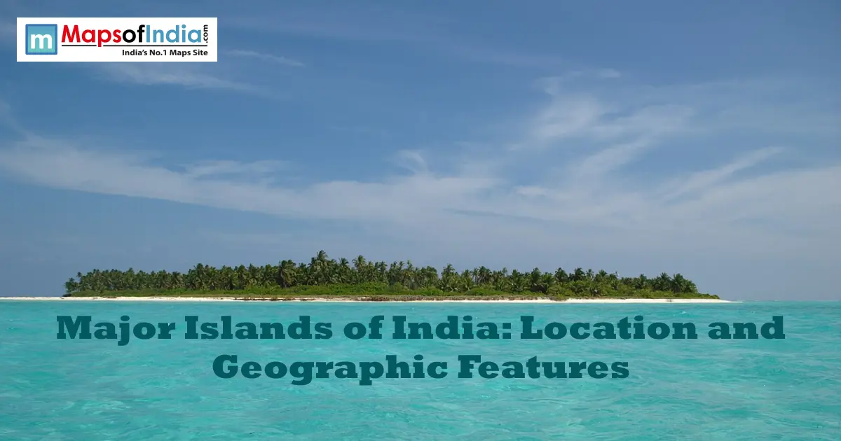
The Lakshadweep Islands sit roughly 200 to 400 km off the Kerala coast, scattered across the Arabian Sea and forming the western half of the Islands of India location picture. The group is small compared to the Andamans, made up of around 36 islands and islets, spread across a wide stretch of open water.
Coral Origin and Atoll Formation
Unlike the volcanic Andamans, these islands formed entirely from coral, a completely different set of geographic features of Indian islands compared to the Bay of Bengal side. They sit atop ancient reef structures, built up gradually as coral deposits accumulated over thousands of years. Most islands rise barely a few meters above sea level, which makes them especially fragile against rising water.
Key Islands
Andrott ranks as the largest island in the group. Minicoy comes next, sitting further south and carrying its own distinct culture and dialect. Kavaratti and Kadmat round out the better-known islands, each drawing visitors for diving, snorkelling, and lagoon tourism.
Capital and Administration
Kavaratti serves as the administrative capital of Lakshadweep, home to the union territory's main government offices.
Andaman & Nicobar vs. Lakshadweep - Key Differences
Feature | Andaman & Nicobar | Lakshadweep |
| Origin | Tectonic/volcanic | Coral atoll |
| Location | Bay of Bengal | Arabian Sea |
| Total Islands | 572 | ~36 |
| Capital | Port Blair | Kavaratti |
| Climate | Tropical, humid | Tropical, coral-reef climate |
Other Notable Islands of India
River Islands
Majuli sits in the Brahmaputra River, in Assam. It ranks among the largest river islands on Earth, though erosion continues to shrink its size year after year, forcing entire villages to relocate over the decades. Sagar Island sits at the mouth of the Ganges, in West Bengal, formed by centuries of river sediment and known for its annual pilgrimage gathering.
Coastal Islands
Elephanta Island is located close to Mumbai's harbour. It has ancient rock-cut caves, sculpted with complex carvings of Shiva, dating back more than a thousand years. The site is also a UNESCO World Heritage Site and is a popular day trip from the city, accessible by ferry.
Geographic and Strategic Significance of Indian Islands
These islands make India's EEZ much more than just a line drawn out from its mainland. The enlarged area provides access to fishing grounds, seabed resources and shipping lanes. The Andaman and Nicobar Islands are also located in close proximity to key shipping lanes connecting the East and West, providing India with an important military and maritime presence in the area. Both the island groups also possess high biodiversity – coral reefs, rainforest cover- and provide substantial tourism income to the respective states and union territories. They are some of the most significant geographic features of Indian islands for any national security planning.
Environmental Challenges Facing India's Islands
Low-lying islands are most vulnerable to sea-level rise. Lakshadweep is particularly vulnerable as many of its islands are only a few metres above sea level. Another worry is coral bleaching, which affects the reefs that bind these coral islands to one another. But habitat protection is a continuous challenge, too, particularly across the Andaman and Nicobar Islands, where development pressure is at odds with conservation measures for the protection of rare and endemic species found nowhere else on earth.
FAQs
1. Name the two prominent groups of islands in India.
Andaman and Nicobar Islands lie in the Bay of Bengal, whereas the Lakshadweep Islands lie in the Arabian Sea.
2. In total, how many islands does India have?
Indian islands are around 1382, inhabited or uninhabited.
3. What is the difference between the Andaman and the Lakshadweep islands?
The Andamans are formed from tectonic and volcanic activity, and Lakshadweep is completely made up of coral atolls. There are far more islands in the Andamans with a much greater total land area.
4. What is the Southmost point of India?
The southernmost point of India is at Indira Point in Great Nicobar Island.
5. Which is the highest peak among Indian islands?
It is held by Saddle Peak on North Andaman, which is 737 m.
6. Which is the capital of the Andaman and Nicobar Islands?
South Andaman Island is home to its capital, Port Blair.
7. Largest Island of Lakshadweep?
The biggest of the Lakshadweep Islands is Andrott, and it is followed by Minicoy.
8. Is Barren Island a real active volcano?
Yes. Barren Island, located within the Andaman and Nicobar Islands, is the only confirmed active volcano in South Asia. last erupted in the mid-1990s.