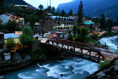
Location of Manali: Manali is one of the most beautiful towns in the Kullu Valley of the State of Himachal Pradesh, with a total population of 30,000. It is situated near the northern end of the Kullu Valley. The town is located at a height of 6,398 ft. The town is at a distance of 250 kilometers from Shimla, the capital of Himachal Pradesh.
Geography, Manali: The town of Manali is located between 32°10'N 77°06'E.
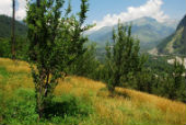
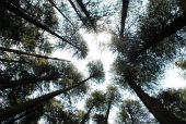
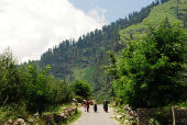
Locations in Manali: Locations in Manali which are the most popular among the tourists are many, as for instance the Gulaba Camp, Nehru Kund etc. The location map of Manali can be used for finding the locations, while visiting the place.
- Gulaba Camp: This place is about 20 kilometres from the town. It is known for its scenic beauty.
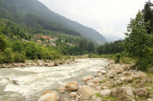
- Nehru Kund: This beautiful clear water spring has been named after the late Prime Minister of India, Pt. Jawahar Lal Nehru. It is located at a distance of 6 kilometres from Manali town on Keylong Road.
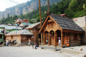
- Vashisth Village: This small village is at a distance of just 3 kilometres from Manali and is known for its hot water springs, traditional houses made of timber etc.
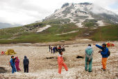
- Rohtang Pass: This is the uppermost point on the road to Manali-Keylong. It is at a height of 4112m. It is located at a distance of 51 kilometre from the Manali town.
- Arjun Gufa: It is also known as the cave of Arjuna and is believed that Arjuna lived here ages ago and had worshipped Lord Indra. It is at a distance of 5 kilometres from the Manali town.
- Jagatsukh Temple: This is one of the largest villages in the district and is 6 kilometres from Manali.
- Kothi: This is another village, located 12 kilometres away from Manali town. It is on the Key-long Road on the Rohtang Pass.
- Old Manali: This old town is just a distance of 3 kilometres from the new Manali town.