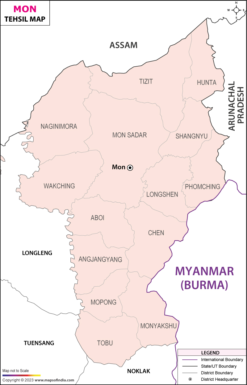
List of Taluks in Mon District | ||
|---|---|---|
| Circle/Taluk Name | Total : Rural+Urban Population (2001) in Number | Pin Code |
| Aboi | 12,199 | N.A |
| Angiangyang | N.A | N.A |
| Chen | 23,989 | N.A |
| Hunta | 6,779 | 798623 |
| Longshen | 25,710 | 798621 |
| Mon Sadar | 46,332 | 798621 |
| Monyaksnu | 22,607 | 798603 |
| Mopong | 11,846 | 798624 |
| Naginimora | 12,587 | 798622 |
| Phomching | 11,315 | 798625 |
| Shangnyu | 7,066 | 798621 |
| Tizit | 18,535 | 798602 |
| Tobu | 15,319 | 798603 |
| Wakching | 23,676 | 798622 |
Last Updated on : January 14, 2026
