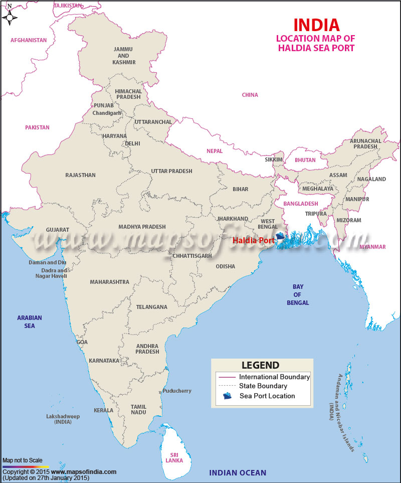
| Port Name | Haldia Port |
| Also Known As | Port of Kolkata |
| Opened | In 1870 |
| Constructed by | The British East India Company |
| Operated by | Kolkata Port Trust |
| Owned by | Kolkata Port Trust, Ministry of Shipping, Government of India |
| Location | Kolkata |
| Lat / Long | 22.547341, 88.302385 |
| Type of harbor | Coastal Breakwater, River Natural, Medium Seaport |
| Size of harbor | N.A. |
| Land area | N.A. |
| Available berths | 15 |
| Chairman | Shri M.L. Meena |
| Main trades | Automobiles, motorcycles and general industrial cargo including iron ore, granite, coal, fertilizers, petroleum products, and containers. |
| Major exports | Iron ore, leather, cotton textiles |
| Major imports | Wheat, Raw Cotton, Machinery, Iron & steel |
