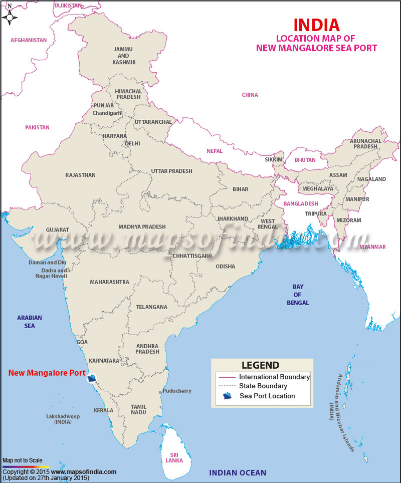
| Port Name | New Mangalore Port |
| Opened | In 1974 |
| Operated by | New Mangalore Port Trust |
| Owned by | Ministry of Shipping, Government of India |
| Location | Manglore, Karnataka |
| Lat / Long | 12.927278, 74.812275 |
| Type of harbor | Natural River, Medium Seaport |
| Size of harbor | N.A. |
| Land area | N.A. |
| Available berths | 18 |
| Chairman | P.C. Parida |
| Main trades | Shipping, Storage, and logistical services, while handling dry, bulk, fluid and other cargoes. |
| Major exports | Iron ore concentrates and pellets, manganese, cashew, iron ore fines, granite stones, coffee, and containerised cargo. |
| Major imports | LPG, finished fertilizers, phosphoric acid, crude and petroleum products, timber logs, wood pulp, liquid ammonia, other liquid chemicals. |
