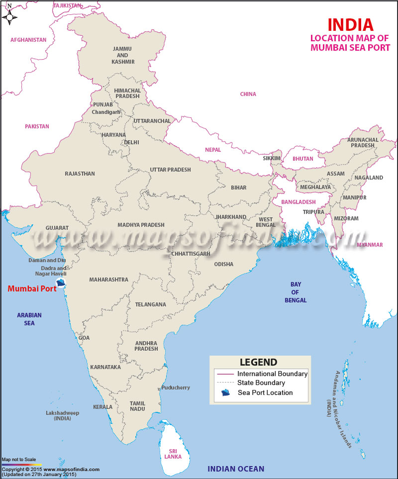
| Port Name | Mumbai Port |
| Also Known As | Bombay Port |
| Opened | In 1873 |
| Operated by | Mumbai Port Trust |
| Owned by | Government of India |
| Location | West Mumbai, Maharashtra |
| Lat / Long | 18.948014, 72.844454 |
| Type of harbor | Natural deep-water, Large Seaport |
| Size of harbor | 400 Km2 (150 sq mi) |
| Land area | 319,900 m2 |
| Available berths | 63 |
| Wharfs | 5 |
| Chairman | Shri Ravi. M. Parmar (IAS) |
| Main trades | N.A. |
| Major exports | Raw cotton, Yarn, Textiles and Machinery. |
| Major imports | Petroleum, Petroleum Products, Fertilizers, Chemicals, Paper, Raw cotton etc. |
Last Updated on : January 14, 2026
