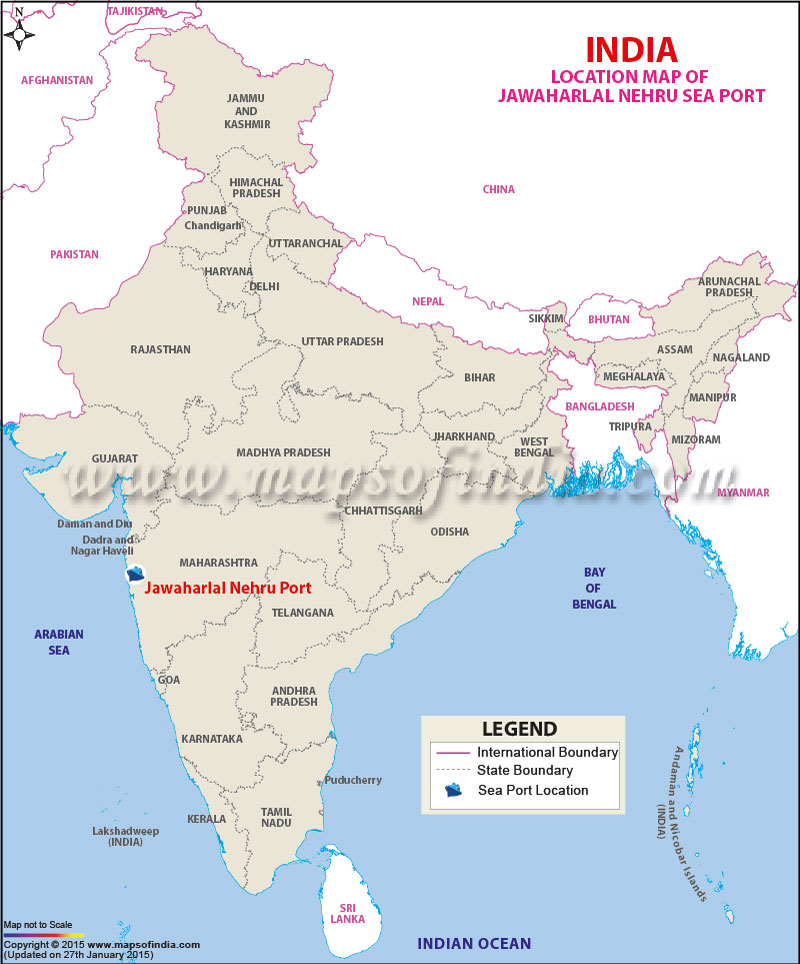
| Port Name | Jawaharlal Nehru Port |
| Also Known As | Nhava Sheva |
| Opened | In 2000 |
| Operated by | Jawaharlal Nehru Port Trust |
| Owned by | Central Government of India |
| Location | Maharashtra, South Mumbai |
| Lat / Long | 18.949915, 72.949723 |
| Type of harbor | Coastal Tide Gate, Larger Seaport |
| Size of harbor | N.A. |
| Land area | 2584 ha. |
| Available berths | 3 |
| Chairman | L. Radhakrishnan (IAS) |
| Main trades | Handles containers, liquid bulk & cement ships. |
| Major exports | Textiles, Sporting goods, Carpets, Textile machinery, Boneless meat, Chemicals and Pharmaceuticals. |
| Major imports | Chemicals, Machinery, Plastics, Electrical machinery, Vegetable oils and Aluminium and other Non-ferrous metals. |
