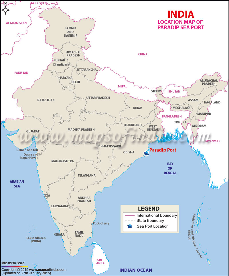
| Port Name | Paradip Port |
| Opened | In 1966 |
| Operated by | Paradip Port Trust |
| Owned by | Ministry of Shipping, Government of India |
| Location | Jagatsinghpur, Odisha |
| Lat / Long | 20.265762, 86.676326 |
| Type of harbor | Artificial, Deep-water Port |
| Size of harbor | N.A. |
| Land area | 6,382 acres |
| Available berths | 14 |
| Chairman | S.S.Mishra |
| Main trades | N.A. |
| Major exports | Iron ore |
| Major imports | Large-scale Fertiliser and Crude oil |
Last Updated on : January 14, 2026
