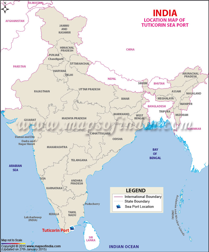
| Port Name | Tuticorin Port |
| Also Known As | V.O.Chidambaram Port |
| Opened | In 1974 |
| Operated by | V.O.Chidambaranar Port Trust |
| Owned by | V.O.Chidambaranar Port Trust, Ministry of Shipping, Government of India |
| Location | Tuticorin, Tamil Nadu |
| Lat / Long | 8.756108, 78.178867 |
| Type of harbor | Artificial, Medium deep seaport |
| Size of harbor | 960 acres |
| Land area | 870.75 hectares |
| Available berths | 13 |
| Wharfs | 7 |
| Chairman | Shri. S.Anantha Chandra Bose |
| Main trades | Industrial coal, Copper concentrate, Fertiliser, Timber logs, Iron ore. |
| Major exports | General cargo, building materials, liquid cargoes, sugar, granite, limonite ore. |
| Major imports | Coal, Cement, fertilizers, raw fertiliser materials, rock phosphate, petroleum products, petroleum coke, and edible oils. |
Last Updated on : January 14, 2026
