List of Taluk in Dibrugarh District | ||
|---|---|---|
| Taluk Name | Total (Rural + Urban) Population (2001) in Number | Pin Code |
| Chabua | 147,372 | 786184 |
| Dibrugarh East | 239,786 | N.A |
| Dibrugarh West | 135,179 | N.A |
| Moran | 150,471 | N.A |
| Naharkatiya | 174,590 | 786610 |
| Tengakhat | 195,037 | 786103 |
| Tingkhong | 142,637 | 786612 |
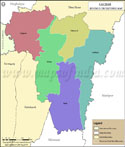
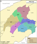
Dibrugarh Tehsil Map |
|
||||||||||

| ||||||||||
|
| *Map highlights the name and location of all the tehsils in Dibrugarh district, Assam. |
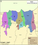
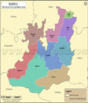
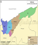
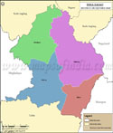
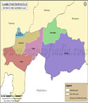
| Major Tehsils of Assam |
 |
 |
 |
 |
| Cachar Tehsil Map | Baksa Tehsil Map | Barpeta Tehsil Map | Dhemaji Tehsil Map |
 |
 |
 |
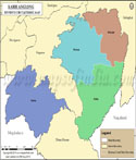 |
| Dibrugarh Tehsil Map | Dima Hasao Tehsil Map | Kamrup Metropolitan Tehsil Map | Karbi Anglong Tehsil Map |
| more tehsils of Assam >> |
Last Updated on : June 23, 2026