List of Taluk in Jorhat District | ||
|---|---|---|
| Taluk Name | Total (Rural + Urban) Population (2001) in Number | Pin Code |
| Jorhat East | 177,548 | N.A |
| Jorhat West | 187,782 | N.A |
| Majuli | 153,400 | 785110 |
| Mariani | N.A | 785634 |
| Teok | 219,753 | 785112 |
| Titabor | 260,738 | 785630 |
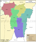
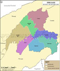
Jorhat Tehsil Map |
|
||||||||||

| ||||||||||
|
| *Map highlights the name and location of all the tehsils in Jorhat district, Assam. |
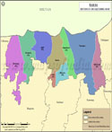
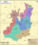
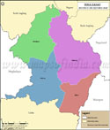
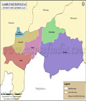
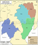
| Major Tehsils of Assam |
 |
 |
 |
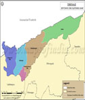 |
| Cachar Tehsil Map | Baksa Tehsil Map | Barpeta Tehsil Map | Dhemaji Tehsil Map |
 |
 |
 |
 |
| Dibrugarh Tehsil Map | Dima Hasao Tehsil Map | Kamrup Metropolitan Tehsil Map | Karbi Anglong Tehsil Map |
| more tehsils of Assam >> |
Last Updated on : June 23, 2026