List of Taluk in Kamrup District | ||
|---|---|---|
| Taluk Name | Total (Rural + Urban) Population (2001) in Number | Pin Code |
| Boko | 99,935 | 781123 |
| Chamaria | 99,919 | N.A |
| Chhaygaon | 209,740 | 781124 |
| Goreswar (Pt) | 172,576 | 781366 |
| Goroimari | N.A | N.A |
| Hajo | 224,381 | 781102 |
| Kamalpur | 152,720 | N.A |
| Koya | N.A | N.A |
| Nagarbera | 61,514 | 781127 |
| North Guwahati (Pt) | 65,813 | 781030 |
| Palasbari | 266,926 | 781128 |
| Rangia (Pt) | 180,976 | 781354 |
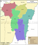
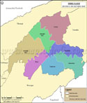
Kamrup Tehsil Map |
|
||||||||||

| ||||||||||
|
| *Map highlights the name and location of all the tehsils in Kamrup district, Assam. |
| Major Tehsils of Assam |
 |
 |
 |
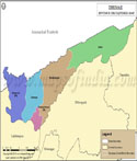 |
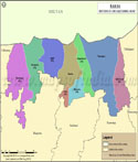
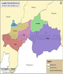
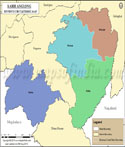
| Cachar Tehsil Map | Baksa Tehsil Map | Barpeta Tehsil Map | Dhemaji Tehsil Map |
 |
 |
 |
 |
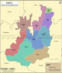
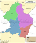
| Dibrugarh Tehsil Map | Dima Hasao Tehsil Map | Kamrup Metropolitan Tehsil Map | Karbi Anglong Tehsil Map |
| more tehsils of Assam >> |
Last Updated on : June 23, 2026