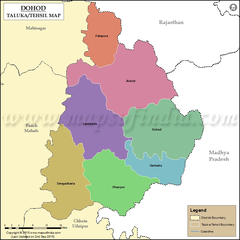
List of Taluka in Dahod District | ||
|---|---|---|
| Tehsil/Taluka Name | Total (Rural + Urban) Population (2001) in Number | Pin Code |
| Dahod | 368,484 | 389151 |
| Devgarhbaria | 208,198 | 389380 |
| Dhanpur | 131,974 | 389382 |
| Fatepura | 185,419 | 389172 |
| Garbada | 142,448 | 389155 |
| Jhalod | 360,553 | 389170 |
| Limkheda | 239,357 | 389140 |
Last Updated on : January 14, 2026
