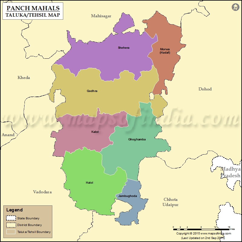
List of Taluka in Panch Mahals District | ||
|---|---|---|
| Tehsil/Taluka Name | Total (Rural + Urban) Population (2001) in Number | Pin Code |
| Divda Colony | N.A | 389250 |
| Ghoghamba | 179,659 | 389365 |
| Godhra | 393,663 | 389001 |
| Halol | 195,300 | 389350 |
| Jamughoda | 36,319 | 389390 |
| Kalol | 191,985 | 389330 |
| Khanpur (Bakor) | 85,047 | 389230 |
| Lunawada | 229,798 | 389230 |
| Morwa | 152,751 | 389115 |
| Santrampur | 219,041 | 389260 |
| Shehera | 231,325 | 389210 |
Last Updated on : January 14, 2026
