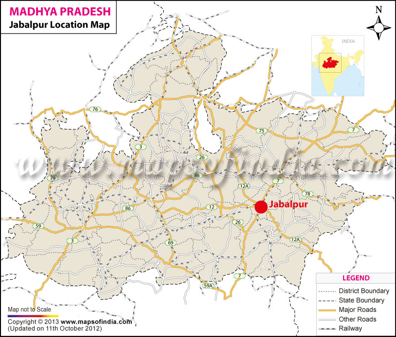
The location of Jabalpur is 23°10' North latitude and 79° 59' East longitude. Jabalpur is situated on Varanasi-Nagpur NH-7. Nestled in the 'Mahakaushal' region in the central part of India, it is has a peaceful ambiance and a tranquil environment. The city of Jabalpur is located at an altitude of 411 meters.
Jabalpur enjoys a prime location. It is located at the center of Madhya Pradesh. The location of Jabalpur is instrumental in expanding the tourism industry of the city. Moreover, it is located about 4.7 nm from Khamaria and about 2.9 nm from Garha. Panagar, Barela, Pararia and Guwarighat are located about 8.2 nm, 6.8 nm, 11.2 nm and 3.5 nm respectively.
| City | Jabalpur |
| State | Madhya Pradesh |
| District | Jabalpur |
| Total Population | 951,469 |
| Total Male | 496,829 |
| Total Female | 454,640 |
| Total Population (0-6 Age Group) | 112,446 |
| Total Male (0-6 Age Group) | 59,104 |
| Total Female (0-6 Age Group) | 53,342 |
| Total Literates | 710,855 |
| Total Male Literates | 394,094 |
| Total Female Literates | 316,761 |
Last Updated on : September 10, 2025
Click Here More Information