| |||||||
 | |||||||
|
|
Disclaimer: All efforts have been made to make this image accurate. However Mapping Digiworld Pvt Ltd and its directors do not own any responsibility for the correctness or authencity of the same.
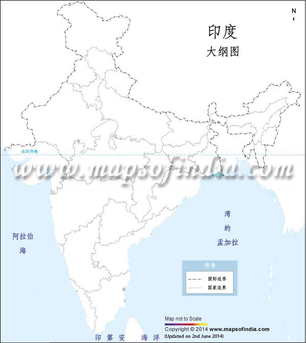
For those who want to get an idea about the various provinces and union territories of the Republic of India, an India outline map in Chinese is a helpful option for them. The map clearly highlights the inter-state boundaries of the 29 states and seven union territories in the country.Last Updated on June 16, 2026