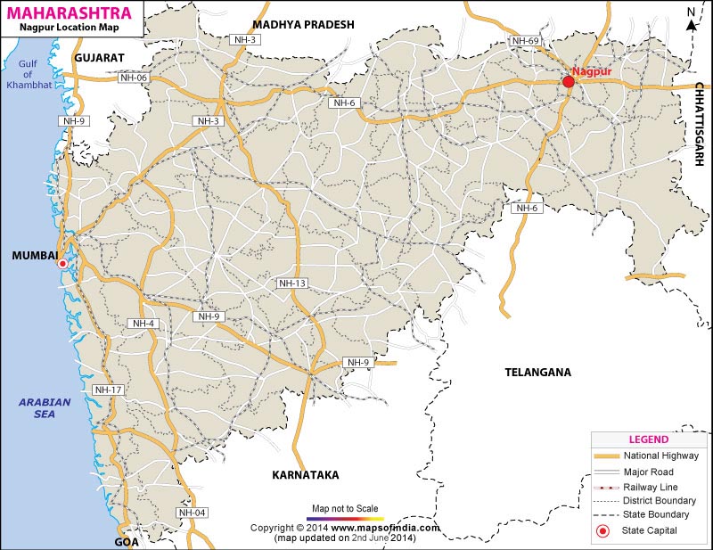
Speaking about Nagpur location, it can be said that the city is located in Maharashtra state, between 21°45 north to 20°30 north and 78°15 east to 79°45 east. Thus it can be said that Nagpur falls in the Deccan plateau region. Nagpur is bordered by Amravati and Wardha in the west, Bhandara in the east and Chandrapur in the south. In the north, it shares its boundary with the state of Madhya Pradesh of which it was a capital till 1956.
So far Nagpur location goes; it is at an advantageous position for the major highways like the NH-7 and NH-6 passes through this city of Maharashtra. The distance of Nagpur from the metropolitan cities like Delhi is 1094 kms, from Mumbai is 837 kms, from Kolkata is 1140 kms and from Chennai is 1092 kms. Also the major state and central government offices are sited at Nagpur.
| City | Nagpur |
| State | Maharashtra |
| District | Nagpur |
| Total Population | 2,051,320 |
| Total Male | 1,058,692 |
| Total Female | 992,628 |
| Total Population (0-6 Age Group) | 241,605 |
| Total Male (0-6 Age Group) | 124,626 |
| Total Female (0-6 Age Group) | 116,979 |
| Total Literates | 1,616,818 |
| Total Male Literates | 876,342 |
| Total Female Literates | 740,476 |
Last Updated on : September 10, 2025
Click Here More Information