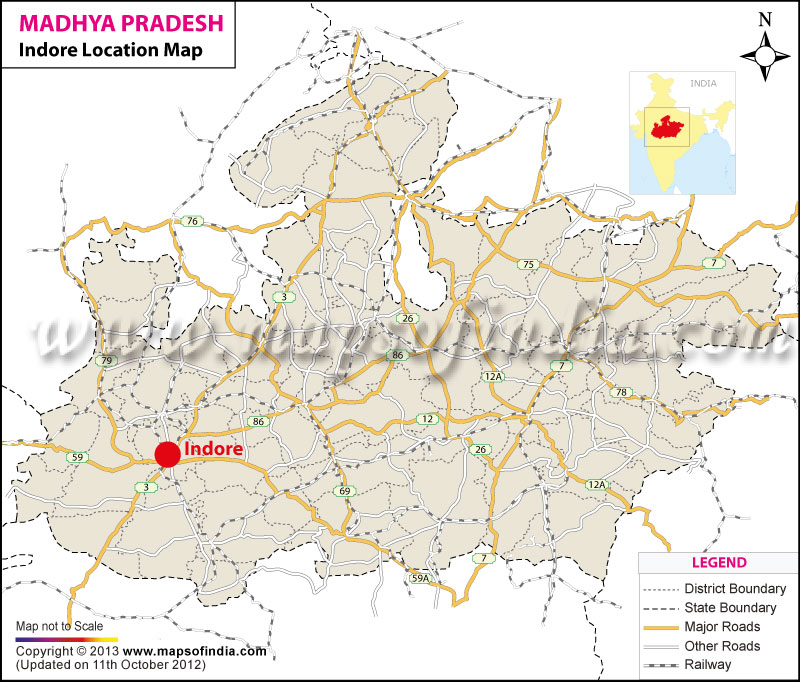
The exact geographical Indore Location is at 22°43' north latitude and 75°49'60'' east longitude. Indore is located at an elevation of 1791 feet or 545 meters above sea level. Indore is the largest city in the state of Madhya Pradesh in India.
Situated in the western fringes of the state of Madhya Pradesh, Indore location is in the propinquity of the center of the Indian subcontinent. Indore has an area of 214 sq kilometer. Some of the cities and towns that are situated close to Indore are Akolia, Baloda, Hatod, Manglia, Kanaria, Harsola, Simrol and Mhow.
| City | Indore |
| State | Madhya Pradesh |
| District | Indore |
| Total Population | 1,597,441 |
| Total Male | 839,843 |
| Total Female | 757,598 |
| Total Population (0-6 Age Group) | 203,236 |
| Total Male (0-6 Age Group) | 106,808 |
| Total Female (0-6 Age Group) | 96,428 |
| Total Literates | 1,145,264 |
| Total Male Literates | 652,033 |
| Total Female Literates | 493,231 |
Last Updated on : September 10, 2025
Click Here More Information