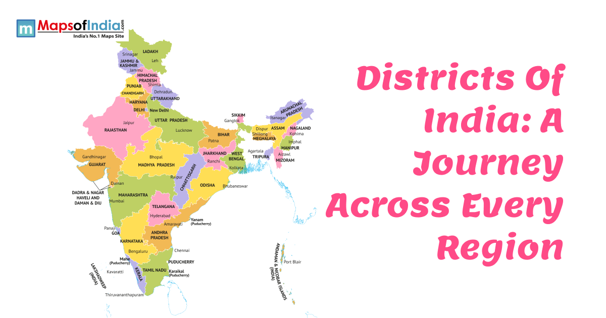
The paper contains lines that seem to be the truth. Not everything that is colored inside the shapes is displayed. Someone decides which towns become big while others become small. What seems to be solid is actually a disguise for old disagreements that are about to be accused. The principle of a name being stamped across land gives an instant authority to that name. Borders remain still, but shifts take place on a daily basis. Seeing is not always believing, especially with the worlds that are flat. The decisions that were made a long time ago determine how we see space today. Silence between words sometimes speaks louder than the letter of the law. Power passes through geography in a way that most people do not even realise. Away from here, wars are being legitimised, and land is being seized. People disappear even when the countries are getting more and more powerful. Whoever has the map decides what the others see. Soft forces silently manipulate our perception of the Earth.
The Mercator Map Shows Size Distortions
Back in 1569, Gerardus Mercator made a well-known world map. Navigating long sea routes became simpler for ship crews because of it. Still, landmasses near the top and bottom stretch out more than they should. Because of that stretching, Greenland looks huge, almost like Africa, but really isn’t. Actually, Africa is far larger, many times wider than shown. Right there in the middle lies Europe, placed just so. Down near the lower rim, Africa gets squeezed small. That layout stuck around for ages, shaping how people saw the world. The dominant nations appeared larger, always front and centre. Those colonial attitudes soaked up that picture like paper. Maps unfolded in classrooms worldwide, their edges worn from eager hands.
Colonial Maps and Territorial Claims
From London to Paris, decisions sliced through savannas. Back in 1884, rooms full of men who’d never walked the soil carved borders blind. These lines snapped families apart, languages scattered like stones kicked aside. Maps folded at midnight sealed fates just as easily. A line drawn in ink erased generations of movement. Where people had crossed freely, fences now stood cold. Overnight, familiar trails split into separate zones. What felt like home got renamed without warning. Out of nowhere, marks began showing across open ground. Suddenly, folks found themselves inside edges they never agreed to. Conflict sparked wherever those divisions landed. A place named Kashmir remains disputed because old maps drew their claims long ago. Like tiny cuts on documents that somehow refuse to fade, no matter how much time passes.
The Power of Being Centred
Turned a certain way, most world maps show Europe right in the middle. Up north stays on top, down south at the bottom, every time. Seems normal, but it does not have to be that way. In some versions made in Australia, the globe gets turned around. Suddenly, what was below now points upward. Right away, something feels off to most folks. Research in psychology points to how position shapes what we value. When a country sits dead centre, it just appears weightier. Those were shoved to the edges. They fade without a word. It's like an unspoken ranking etched across every schoolroom map.
Borders as Instruments of Power
Where borders shift, paper makes them still. On Chinese maps, Arunachal Pradesh appears within their claimed area. Indian versions place it firmly under national control. Each government issues its own version without compromise. Young students learn conflicting versions of history. Online mapping tools must follow regional rules. Depending on the nation, Google changes boundary lines. As if truth shifts to match political views.
Erasing Indigenous Presence
Empty patches filled colonial maps. Where people lived, terra nullius pretended otherwise. Invisibility became their status by design. Whole Aboriginal worlds missed the frame of Australia’s cartography. Vast tracts across U.S. charts wore the label wilderness, erasing who was already there. Blank spots fade into memory. Some charts now mark old ground again. Still, patches of forest hide the truth. As if quiet hands kept drawing it.
Maps in Conflict and Propaganda
When borders on paper clash, conflict often follows. Lines drawn in ink can stir deep loyalty. In one country's books, Crimea appears attached to Russia. Yet another nation draws that region within its own frame. Each government shares thousands of copies across cities and towns. Classrooms receive these pages as the official truth. Geography lessons turn tense without a word spoken. Maps can stretch truth like a shout across empty land. Borders grow teeth when drawn by power, not lines.
Digital Maps Shape Corporate Influence
Out there, Google Maps runs most of how people find their way around. A single corporation shapes the view for countless users worldwide. Quiet moments at home show up online through Street View. What was once out of sight can now be spotted from above. When officials push, lines on maps shift. Coverage depth depends on hidden code choices. Some countryside spots stay out of clear view. A corporate lens shapes what we see as common ground.
Mental Maps Shape How We See The World
What you see on screens sticks in your mind like a smudge on glass. Familiar spots pop up more often, so they appear just around the corner. Regions barely mentioned fade into the background, almost forgotten. Going places changes how distances feel, shifts what matters. But many still navigate life using old directions drawn long ago. Still stuck on old pictures, people stay. As if every thought lives inside a kid's crayon sketch, never leaving.
Decolonising Cartography Today
Out in the open now, maps shake up long-held beliefs. Precision in sizing areas matters most with the Peters method. People from boundary markers carry lineage close. When communities chart where they live, control shifts quietly inward. Now maps place south on top, a shift that feels odd at first. Fresh views emerge through digital help, no pushing needed. What once seemed certain quietly gives way. Slowly, the old rules tilt sideways. Up is not just north like before.
The Future Of Fluid Borders
Slow shifts in climate shift shorelines bit by bit. As oceans climb higher, entire island countries vanish beneath waves. Updating charts becomes never-ending work. Computer-made worlds let people step inside landscapes. Digital layers paint fresh boundaries onto real views. Conflicts over control move into online spaces. These tools turn flat maps into something restless, almost alive.
Reimagining Where We Belong
Slowly, awareness starts to weaken the hold. Each map deserves a second look, maybe even a challenge. Different views matter; make space for them. Back up those shaping maps on their own terms. Show kids how lines can lie just by bending. Suddenly, geography feels less like facts, more like insight. It’s what happens when you notice who drew which border.
")