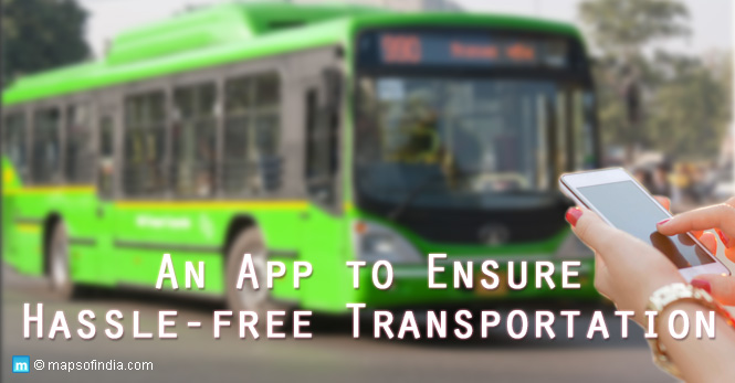
It must be a hassle for a commuter, especially in the morning while heading to the office when they get to know that the bus has not arrived on time at the stop. Now, one can stop complaining about this and look over to Google maps to know the exact bus timings so that the day’s schedule can be adequately planned.
On Wednesday, the Delhi government collaborated with Google to offer a real-time Delhi Transport Corporation (DTC) bus tracking service in the national capital. It will allow the people to receive arrival and departure timings, including their routes. Dialogue and Development Commission of Delhi Vice-Chairperson Jasmine Shah, other officials from the transport department, and Google participated in this initiative’s virtual launch.
As per the PTI news agency, Transport minister of Delhi, Kailash Gahlot, stated, “Google has teamed up with the Delhi Transport Ministry to show real-time bus information. Users will get an estimation of how long their trip is going to take, and if their bus is delayed. Google Transit will automatically update the times in line with the new conditions.”
Gahlot asserted that Delhi has now become a part of worldwide cities that provide seamless, updated information about buses in the city. He believes that this initiative will urge numerous other transit applications to tap into the open data portal of the transport department and develop creative solutions to make Delhi’s public transport system the primary preference for everyone.
“Status of around 3,000 buses is live. More DTC buses will be integrated soon. People will now be able to plan their journeys to the minute,” he added. After the commencement of the project, static and dynamic location data of Delhi buses will be made public for passengers in real-time.
How to know real-time data of DTC buses on Google maps?
After a commuter opens Google Maps and mentions their destination, they should press the ‘Go’ icon. Next, the person has to tap the ‘transit’ icon (the little tram) to know times, bus numbers, routes and real-time arrival information stated in green or red.
“Tapping a recommended route lets you view more information on the route’s stops. Tap the bus stop to see a listing of all arriving buses, where relevant real-time information is depicted by the green or red beacon,” said the Delhi government statement.
One can check updates on any delays that will decrease waiting time and lower the crowding at bus stops, besides increased accountability of public buses. The feature will also be available in the Hindi language, and commuters can also change the language in Google Maps settings or within the device language settings.
Moreover, the government created and published Open Transit Data in 2018 with technical assistance from Indraprastha Institute of Information Technology, Delhi (IIIT-D) to offer real-time data concerning bus stops and maps.


