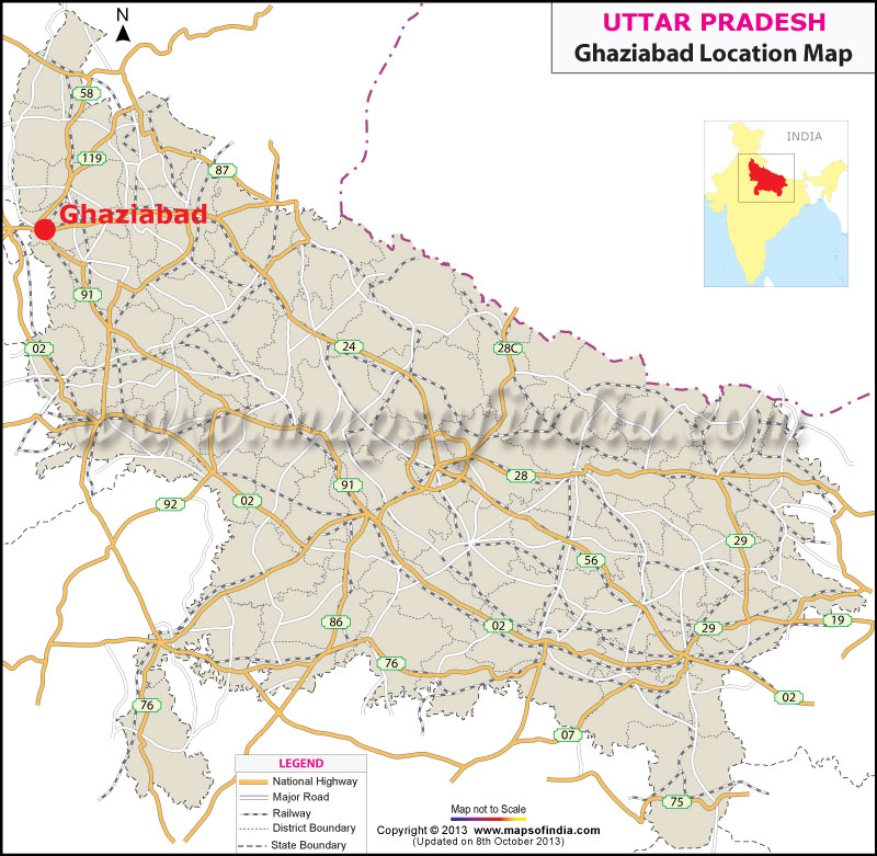
Location of Ghaziabad provides information regarding the geographic location of the city. Ghaziabad is located approximately 1.5 kilometers away from the river Hindon. On the northern part of it there is Meerut district, whereas, on the southern part there are Bulandshahar and Gautambudh Nagar.
Ghaziabad is surrounded by Delhi in the south-west and on the east there is the district of Jyotibaphule Nagar. Ghaziabad is popularly known as the Gateway of Uttar Pradesh since Delhi is quite close to its boundary. In true sense, it serves as the main entrance of Uttar Pradesh. Ghaziabad is situated on the Grand Trunk Road and is approximately 19 km from the east of New Delhi.
While speaking about the location of Ghaziabad the following information should be mentioned.
- Ghaziabad is 30 minutes from the Railway station of Nizamuddin.
- 25 minutes from the Railway Station of New Delhi.
- Takes roughly 1 hour from the Indira Gandhi International Airport.
The main areas under Ghaziabad are as follows:
- Kausambi
- Vaishali
- Indirapuram
Last Updated on November 13, 2025
|
|

