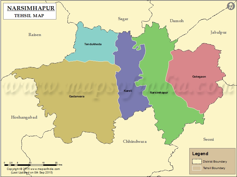
List of Taluk in Narsimhapur District | ||
|---|---|---|
| Tehsil/Taluk Name | Total (Rural + Urban) Population (2001) in Number | Pin Code |
| Gadarwara | 368,179 | 487551 |
| Gotegaon | 174,041 | 487118 |
| Kareli | 138,471 | 487221 |
| Narshimhapur | 192,076 | 487001 |
| Tendukheda | 84,879 | 487770 |
Last Updated on : September 10, 2015
|
|

