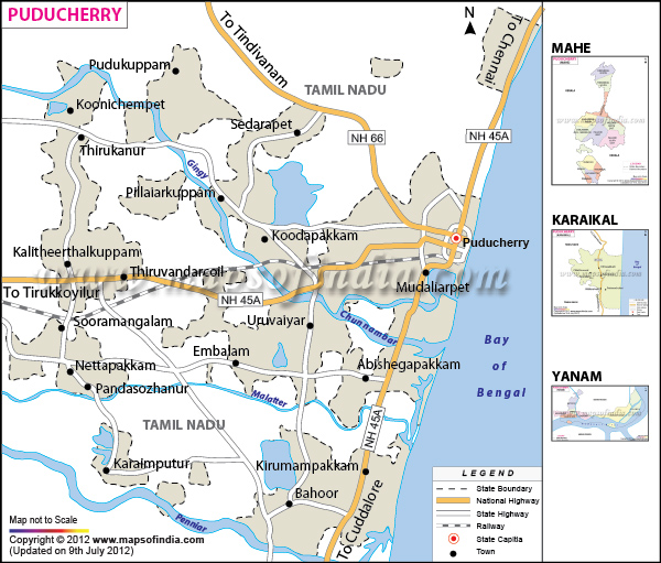
Pondicherry, a Union Territory, has a total area of 290 sq km. The place with ten municipalities has a total population of 9,74,345, as per 2001 census.
Pondicherry accommodates 7126 Small Scale Industries, 147 medium scale and fifty five large scale industries.
With a fair economic condition, this Union Territory gains revenue from sugar factories, cotton yarns and textile mills.
Apart from the famous Aurobindo Ashram, Pondicherry boasts of some magnificent churches, temples, mosques, and heritage buildings and of course the serene beaches
Last Updated on : April 17, 2026