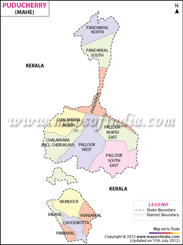
One of the smallest districts of
Pondicherry, Mahe covers only nine km of area. The place is on the western coast of the Indian Peninsula.
The district covers total population of 36,823, of which males have a count of 17,146 and females have 19,677 (census 2001). The population density of the region is 4091 persons per sq km.
Coconut, paddy, black pepper is the main produce of Mahe. The district houses sixty one Small Scale Industries and only two large scale industries.
Enriched with serene beaches, churches and forts, Mahe has the Tagore Park, St. Theresa's church and Othenan and George fort.
Last Updated on : April 17, 2026