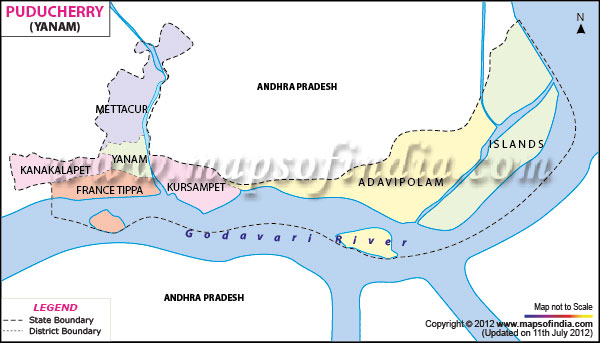
Situated on the east coast of Indian Peninsula, Yanam covers a total area of 20 sq km.
A part of the Union Territories of
Pondicherry, the region is lies between 16° 42'north latitude and 82° 11'east longitude.
According to census 2001, Yanam has a total population of 31,362 with a sex ratio of 975 females per 1,000 males.
As an agriculture-friendly region, Yanam grows mainly coconut, paddy and groundnut. Eighty small Scale industries and three large scale industries are operational in this area.
Along with the Yanam ferry road, Annavaram, Draksharamam and Padagaya temples are the most fascinating tourist spots of Yanam.