Administration of Puducherry: Puducherry is represented by a Lieutenant Governor and the Central Government is directly involved in the financial well being if the Union Territory.
Since Puducherry is a Union Territory and not a state, governance and administration of the area falls directly under the Federal authority in New Delhi.
Tourism in Puducherry: Given its French charm and beautiful beaches, Puducherry is very popular among domestic and international tourists alike. Another huge draw to Puducherry is the Aurobindo Ashram, where Sri Aurobindo spent his last years. Other than that there are many temples and mosques and parks in Puducherry which are popular among tourists.
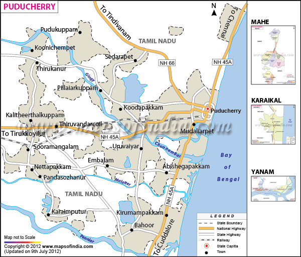
List of Districts in Pondicherry
| S No. | District | Headquarters | Population (Census 2011) | Sex Ratio (per 1000) | Average Literacy |
|---|---|---|---|---|---|
| 1 | Karaikal | Karaikal | 200,222 | 1047 | 87.05% |
| 2 | Mahe | Mahe | 41,816 | 1184 | 97.87% |
| 3 | Puducherry | Puducherry | 950,289 | 1029 | 85.44% |
| 4 | Yanam | Yanam | 55,626 | 1038 | 79.47% |
Last Updated on : April 17, 2026
| Buy this Map |