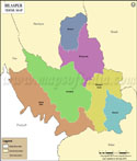
Bilaspur Tehsil Map


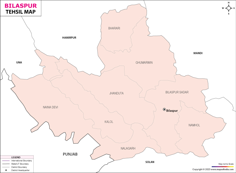
Tehsil Map of Bilaspur

separator Click here for Customized Maps arrow custom map
Tehsil Map of Bilaspur Una Hamirpur Mandi PUNJAB Solan
Print Email Save Buy Now 
*Map highlights the name and location of all the tehsils in Bilaspur district. Disclaimer


  Major Tehsils of Himachal Pradesh  
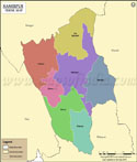
Kangra Tehsil Map Mandi Tehsils Map Shimla Tehsils Map Hamirpur Tehsil Map
Kangra Tehsil MapMandi Tehsil MapShimla Tehsil MapHamirpur Tehsil Map
    
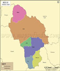
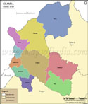
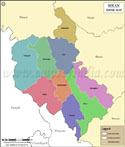
Kullu Tehsils Map Chamba Tehsil Map Solan Tehsils Map Bilaspur Tehsil Map
Kullu Tehsil MapChamba Tehsil MapSolan Tehsil MapBilaspur Tehsil Map
  other tehsils of Himachal Pradesh  >>

Tehsil/Taluk NameTotal (Rural + Urban) Population (2001) in NumberTotal (Rural + Urban) Population (2011) in NumberPin Code
BharariN.A45,600176309
Bilaspur Sadar97,62275,772174001
Ghumarwin120,44289,396174021
Jhanduta81,49991,510174031
Naina Devi41,32246,675174310
NamholN.A33,103174032
Total1,998,355382,056


Last Updated on : January 16, 2023