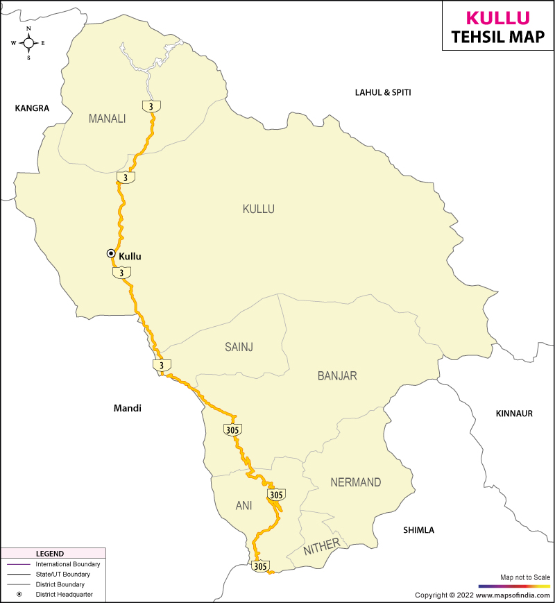
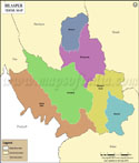
Kullu Tehsil Map


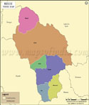
Tehsil Map of Kullu

separator Click here for Customized Maps arrow custom map
Tehsil Map of Kullu Chamba Kangra Lahul & Spiti Kinnaur Shimla Solan Mandi Bilaspur
Print Email Save Buy Now 
*Map highlights the name and location of all the tehsils in Kullu district. Disclaimer


  Major Tehsils of Himachal Pradesh  
Kangra Tehsil Map Mandi Tehsils Map Shimla Tehsils Map Hamirpur Tehsil Map
Kangra Tehsil MapMandi Tehsil MapShimla Tehsil MapHamirpur Tehsil Map
    
Kullu Tehsils Map Chamba Tehsil Map Solan Tehsils Map Bilaspur Tehsil Map
Kullu Tehsil MapChamba Tehsil MapSolan Tehsil MapBilaspur Tehsil Map
  other tehsils of Himachal Pradesh  >>

Tehsil/Taluk NameTotal (Rural + Urban) Population (2001) in NumberTotal (Rural + Urban) Population (2011) in NumberPin Code
Ani50,47656,825172026
Banjar38,63843,608175123
Kullu179,646206,405175101
Manali44,21251,660175131
Nermand47,91753,074172023
Sainj20,68225,902175134
Total381,571437,474


Last Updated on : January 16, 2023