|
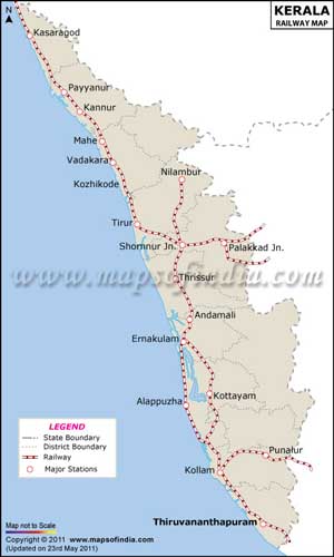
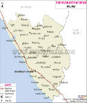
Kerala Railway MapThe state of Kerala is situated in south-west region of India. It has a total area of 38,863 sq km and comprises of 14 districts which are well connected by Indian railways. The Kerala railway map shows the various stations, routes and places of importance accurately and will be helpful in guiding the travelers to their destination. There are various trains that reach the cities of Kerala from all over the country. The span of railways in Kerala is 1050 km long that is spread on the 13 railways routes and it includes 933 Km of broad gauge and 117 Km of meter gauge lines. The state has an extensive line of railway network and boast of around 81 main railway stations, along with many railway junctions. Some important railway stations in Kerala are: Kannur, Kozhikode, Shornur Junction, Palakkad Junction, Thrissur, Ernakulam Junction, Alappuzha, Kottayam, Thiruvananthapuram Central, etc |
 |
 |
 |
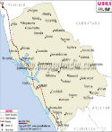 |
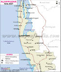
| Alappuzha Railway Map | Ernakulam Railway Map | Idukki Railway Map | Kannur Railway Map |
 |
 |
 |
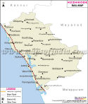 |
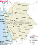
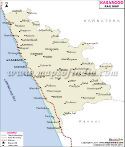
| Kasargod Railway Map | Kollam Railway Map | Kottayam Railway Map | Kozhikode Railway Map |
 |
 |
 |
 |
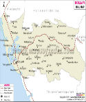
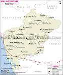
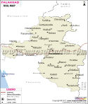
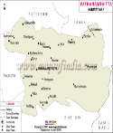
| Malappuram Railway Map | Palakkad Railway Map | Pathanamthitta Railway Map | Thiruvananthapuram Railway Map |
 |
|||
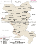
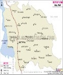
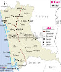
| Thrissur Railway Map |
Last Updated on : May 11, 2026