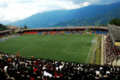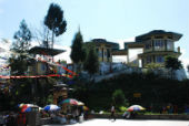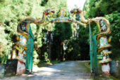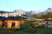




Sikkim is located in the eastern part of the Himalayas and is surrounded by Nepal to the west, Bhutan to the east and the Tibet Autonomous Region of China to the north and north-east. It is bordered to the south by the Indian state of West Bengal. The majestic Kanchenjunga (8586 m), the third-highest peak of the world, dominates the topography of Sikkim and is part of the border between Nepal and Sikkim. Sikkim is now known for its organic farming, eco-tourism, adventure activities, peace and quiet monasteries and its UNESCO-listed Khangchendzonga National Park and has become one of the most popular tourist destinations in India.
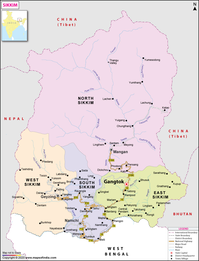
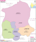
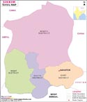
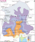
Sikkim District Map
The map of Sikkim district focuses on the geographical distribution of the six districts of Sikkim and gives a clear picture of the administrative divisions of the state. It will be a useful tool for students, researchers, travellers, government and business reference services.
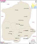
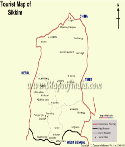
The map of the District is helpful in determining the boundaries of the district, major towns, transportation routes and important tourist attractions for travel planning and educational reference. It also helps to plan administration, do demographic studies, to manage disasters and to develop projects. Whether planning a journey through the Himalayan state or studying its geography, a district map offers an easy-to-understand overview of Sikkim's administrative and regional landscape.
Where is Sikkim Located?
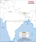
Sikkim is situated in the northeastern part of India within the Eastern Himalayan mountain range. The state lies approximately between 27°04' N and 28°07' N latitude and 88°00' E to 88°55' E longitude.
Although Sikkim is a small state, it has an important strategic location with its international borders with 3 countries. It is surrounded by China (Tibet Autonomous Region) to the north and north-east, Bhutan to the east, Nepal to the west and West Bengal to the south. Its mountainous nature, passes with high altitudes, and its nearness to the border with other states make it important, not only geographically, but also strategically. The main link of Sikkim with the mainland is the National Highway 10 that connects the town of Gangtok with the city of Siliguri in West Bengal.
History
The Lepcha people are tied closely with the history of Sikkim as it is believed that they were the earliest inhabitants of the state. The Kingdom of Sikkim was established during the 17th century when the Namgyal dynasty ruled the kingdom with Phuntsog Namgyal as its first Chogyal (king) in 1642. During this period, the state was strongly influenced by Tibetan Buddhist traditions concerning its culture and government. Sikkim then entered the British fold, following several treaties, in the 19th century. After India's independence in 1947, Sikkim remained an Indian protectorate, but enjoyed internal autonomy under the Chogyal monarchy. The monarchy was abolished by a historic referendum in 1975, and on 16 May 1975 Sikkim was officially included in the list of Indian states.
Geography
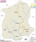
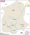
Sikkim is a small state, the second smallest in India, yet has a great geographical diversity. The topography varies from about 300 metres in the valleys of the south to more than 8,500 metres at Kanchenjunga, resulting in a diversity of climatic zones and ecosystems. The state is characterized by the presence of the Eastern Himalayan mountain range, followed by deep valleys, alpine meadows, glaciers, waterfalls and snow-covered peaks. The main river system of the State is the river Teesta with its principal tributary Rangeet River, which is used for agriculture, hydropower and water resources. Sikkim has one of the highest geographical forest covers of 47.64% and is one of the richest biodiversity hotspots in India. It is the habitat of many species, such as the Red Panda, Himalayan Black Bear, Musk Deer, Snow Leopard, and hundreds of orchids and rhododendrons. Climatic variations in the state vary from the subtropical in the lower valleys to alpine and tundra in the higher Himalayan areas.
Administrative Divisions
Sikkim is divided into six administrative districts, each having its unique geographical and cultural features:
- Gangtok
- Gyalshing
- Mangan
- Namchi
- Pakyong
- Soreng
Economy
The economy in Sikkim is diversified with agriculture, tourism, hydropower, horticulture and the service sector. Growing rice, maize, wheat, millet, vegetables, ginger and fruits are still important sources of livelihood for farmers. It is the first ever fully organic state in India that has embraced Organic farming throughout the practice of agriculture. Sikkim is also one of India's major producers of large cardamom, which is an important cash crop for export. Tourism is another large aspect of the economy. Thousands of people visit Sikkim every year to enjoy its mountains, monasteries, trekking, wildlife and adventure sports. The Himalayan rivers are fast-flowing and therefore are used for electricity generation; the service sector, handicraft, hospitality, transport and small-scale industries are also playing an important role in the economic development of the state.
Culture and Languages
Sikkim is famous for its multi-cultural society wherein different communities live harmoniously. Lepcha, Bhutia, and Nepali people are the major ethnic communities living in the state with their own traditions, customs, and festivals enriching the state's culture. There are several official languages of the state, namely English, Nepali, Sikkimese (Bhutia), Lepcha and other languages like Limbu, Tamang, Rai, Gurung, Mangar, Sherpa, Newari, etc. The festivals that are celebrated are Losar, Losoong, Pang Lhabsol, Saga Dawa, Bumchu, Dasain, Tihar, etc. and are celebrated with great enthusiasm. The traditional dances of the state include some of the most significant dances with Buddhist elements, such as Singhi Chham (Snow Lion Dance) and Yak Dance. Sikkim is also famous for tasty delicacies like momo, thukpa, phagshapa, gundruk and fermented foods. Visitors are interested in local handicrafts like hand-knotted carpets, bamboo products, wood carvings and Thangka paintings.
Tourist Attractions
Gangtok
Gangtok is the Gateway to Sikkim, the capital city. It has spectacular views of the Himalayas, busy markets, monasteries, ropeways and culture.
Tsomgo Lake
Located at an altitude of about 3,753 metres, Tsomgo Lake is a glacial lake renowned for its crystal-clear waters and spectacular mountain scenery.
Nathula Pass
One of the highest motorable mountain passes in the world, Nathula Pass connects India with Tibet and is an important historical trade route as well as a popular tourist destination.
Khangchendzonga National Park
The park is a UNESCO World Heritage Site that has been designated to protect the glaciers, alpine forests, rare wildlife, and the majestic Kanchenjunga massif.
Rumtek Monastery
Rumtek Monastery is one of the biggest and proudest Buddhist monasteries in India and one of the vital centres for Tibetan Buddhist learning.
Yumthang Valley
Yumthang is the Valley of Flowers with naturally occurring hot springs, alpine meadows and colourful rhododendrons.
Gurudongmar Lake
Situated at an altitude of over 5,000 metres, Gurudongmar Lake is one of the world's highest lakes and is revered by both Buddhists and Sikhs.
Namchi
Namchi is also famous for its religious monuments such as the towering statue of Guru Padmasambhava and the Char Dham complex.
Ravangla
Ravangla is a peaceful hill town offering magnificent Himalayan views, monasteries, and the famous Buddha Park.
Pelling
Pelling attracts visitors with its breathtaking views of Kanchenjunga, historic monasteries, waterfalls, and adventure activities.
Best Time to Visit Sikkim
Sikkim is open for visitors all year round, though it varies from season to season based on the kind of traveller you are. The time of year is conducive to enjoying pleasant weather, an enjoyable view of the mountains, or experiencing snowfall at higher elevations.
| Season | Months | Suitable For |
| Spring | March–May | Flowers, sightseeing, photography |
| Summer | May–June | Trekking and outdoor activities |
| Autumn | September–November | Clear Himalayan views and festivals |
| Winter | December–February | Snowfall and mountain landscapes |
Sikkim at a Glance (Quick Facts) | |
|---|---|
| Capital | Gangtok |
| Official Languages | English, Nepali, Sikkimese (Bhutia), Lepcha and others |
| Area | 7,096 sq. km |
| Population | 610,577 (Census 2011) |
| Statehood | 16 May 1975 |
| State animal | Red panda |
| State bird | Blood pheasant |
| State tree | Rhododendron |
| State flower | Noble dendrobium |
| Highest Peak | Kanchenjunga (8,586 m) |
| Districts | 6 |
FAQs
Q1: Where is Sikkim located?
Sikkim is a state in northeastern India, located in the Eastern Himalayas. It shares borders with China (Tibet Autonomous Region) to the north and northeast, Bhutan to the east, Nepal to the west, and West Bengal to the south.
Q2: What is the capital of Sikkim?
Gangtok is the capital and largest city of Sikkim. It serves as the state's administrative, commercial, and tourism centre.
Q3: How many districts are there in Sikkim?
Sikkim has six districts: Gangtok, Gyalshing, Mangan, Namchi, Pakyong, and Soreng.
Q4: Why is Sikkim famous?
Sikkim is famous for Kanchenjunga, the world's third-highest mountain, Khangchendzonga National Park, Buddhist monasteries, organic farming, scenic Himalayan landscapes, and adventure tourism.
Q5: What is the total area of Sikkim?
Sikkim covers an area of 7,096 square kilometres, making it the second-smallest state in India by geographical area.
Q6: What is the best time to visit Sikkim?
The best time to visit Sikkim is from March to June for pleasant weather and blooming flowers, and from September to November for clear mountain views and sightseeing.
Q7: Which is the highest peak in Sikkim?
Kanchenjunga, at 8,586 metres, is the highest peak in Sikkim and the third-highest mountain in the world. It lies on the border between India and Nepal.
Last Updated on : August 20, 2026