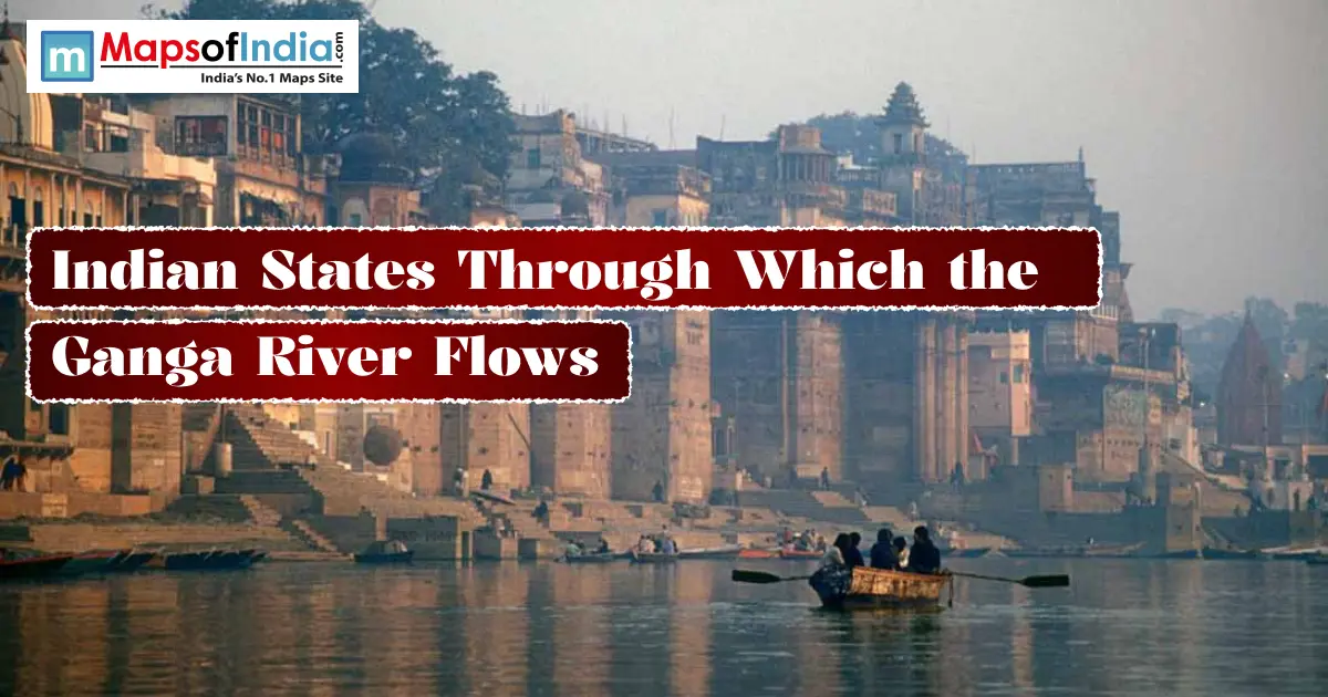
The Ganga flows through 5 Indian states. Uttarakhand, Uttar Pradesh, Bihar, Jharkhand, and West Bengal. Roughly 2,525 km from start to finish before it empties into the Bay of Bengal. That's the short answer. But the full journey, from a Himalayan glacier to a sprawling delta, is worth walking through properly. Let's get into it.
States Ganga Flows Through
- Uttarakhand — Origin state, upper mountain course.
- Uttar Pradesh — Longest stretch of the river's journey.
- Bihar — Runs through the middle of the state.
- Jharkhand — A brief passage, just one district.
- West Bengal — Delta stretch, ending at the Bay of Bengal.
Where Does The Ganga River Originate?
Gaumukh, Gangotri Glacier — The Source
The Ganga's true source sits at Gaumukh, the snout of the Gangotri Glacier. High in Uttarakhand's Uttarkashi district, roughly 7,010 metres up. From there, it flows down as the Bhagirathi River. At Devprayag, the Bhagirathi meets the Alaknanda. Only then does the river officially become the Ganga.
State-Wise Journey Of The Ganga River
Uttarakhand — Origin and Upper Course
This is where it all begins. From Gaumukh, the river drops through Devprayag, Rishikesh, and Haridwar. Then it finally leaves the mountains behind and enters the plains.
Uttar Pradesh — Longest Stretch
The Ganga covers more ground here than anywhere else. It enters through Bijnor. Flows past Kanpur and Prayagraj, home to the Triveni Sangam, where the Ganga, Yamuna, and the mythical Saraswati are said to meet. Then on through Varanasi before reaching Ballia.
Bihar — Middle Course
The river enters Bihar near Chausa in Buxar district. Then runs straight through the middle of the state, past Patna, Munger, and Bhagalpur. Before crossing into Jharkhand.
Jharkhand — Brief Passage
Shortest stretch by far, this one. The Ganga just brushes past Sahebganj district, the only part of Jharkhand it actually touches. Then it moves on.
West Bengal — Delta and Mouth
In Murshidabad district, the river splits. One branch, the Padma, heads toward Bangladesh. The other, the Hooghly, keeps going south through West Bengal, past Kolkata and Howrah, before finally reaching the Bay of Bengal.
State | Approx. Length in State | Major Cities/Towns | Key Ghats/Landmarks |
| Uttarakhand | Roughly 110–320 km (estimates vary by source) | Devprayag, Rishikesh, Haridwar | Har Ki Pauri |
| Uttar Pradesh | Roughly 1,140–1,450 km (combined with Uttarakhand in some official data) | Kanpur, Prayagraj, Varanasi | Dashashwamedh Ghat, Triveni Sangam |
| Bihar | ~405 km | Patna, Munger, Bhagalpur | Gandhi Ghat, Patna |
| Jharkhand | ~40 km | Sahebganj | — |
| West Bengal | ~520 km | Murshidabad, Kolkata, Howrah | Babughat, Prinsep Ghat |
Quick honest note here. Government data from the Central Pollution Control Board gives one combined figure, about 1,450 km, for Uttarakhand and Uttar Pradesh together. It doesn't split the two cleanly. Other sources do split it, some giving Uttarakhand around 110 km and Uttar Pradesh 1,140 to 1,450 km on its own. The national total, 2,525 km, stays the same everywhere though. It's just the internal state split that shifts depending on who you ask.
Major Cities On The Banks Of The Ganga
Haridwar. Kanpur. Prayagraj. Varanasi. Patna. Kolkata. All sit directly on the Ganga's banks, spanning its entire journey. Each one carries its own weight in the river's story. Haridwar and Varanasi for religious significance. Kanpur for industry. Prayagraj for its sacred river confluence. Patna as Bihar's capital. Kolkata as the river's last major city before it reaches the sea.
Total Length And Course Of The Ganga River
The Ganga runs about 2,525 km, from source to sea. Measured along the Bhagirathi and Hooghly rivers, right through to its outfall in the Bay of Bengal. That makes it one of the longest rivers in India. And by far one of the most economically and culturally significant anywhere in the country.
Ganga River Map (India)
Picture a line dropping out of the Himalayas in Uttarakhand. Curving south-east across the entire Gangetic Plain through Uttar Pradesh and Bihar. Clipping the edge of Jharkhand. Then fanning out into the vast delta of West Bengal before reaching the Bay of Bengal. That sweep touches five states directly, and shapes the landscape, economy, and culture of a much wider stretch of northern and eastern India.
Major Tributaries Of The Ganga
The Yamuna and the Son join from the right. The Ramganga, Ghaghara, Gandak, Kosi, and Mahananda join from the left. The Chambal and Betwa feed in too, mainly through the Yamuna system. Together, these tributaries make the Ganga basin the largest river basin in India. Covering roughly 26% of the country's total land area.
Where Does The Ganga River End?
The Ganga's journey ends in the Sundarbans delta, the largest river delta in the world. The Ganga and Brahmaputra join here and flow into the Bay of Bengal. The confluence of the Ganga River and the sea is a very religious place called Ganga Sagar. This place sees a large number of pilgrims, particularly during Makar Sankranti.
Significance Of The Ganga River
The Ganga basin supports roughly 43% of India's population. Despite covering just over a quarter of the country's land area. It irrigates vast stretches of agricultural land. Anchors some of India's most important religious sites. And serves as a genuine economic lifeline for the states it runs through. That combination of scale and significance is exactly why it's treated as India's National River.
Conclusion
From a glacier in Uttarakhand to a sprawling delta in West Bengal, the Ganga's 2,525 km journey touches five states. And shapes life for hundreds of millions of people along the way. Whether you're studying it for an exam or just curious about the river behind so much of India's culture and economy, its path tells a genuinely remarkable geographic story.
FAQs
How many states does the Ganga flow through?
Five. Uttarakhand, Uttar Pradesh, Bihar, Jharkhand, and West Bengal.
Which state has the longest stretch of the Ganga?
Uttar Pradesh. Most estimates place its stretch somewhere between 1,140 and 1,450 km. By far the longest of any single state.
Does the Ganga pass through Delhi?
No. The Ganga doesn't flow through Delhi at all. The Yamuna, one of its major tributaries, passes through Delhi instead, before eventually joining the Ganga at Prayagraj.
What is the total length of the Ganga River?
Approximately 2,525 km. Measured from its source at Gaumukh to its outfall into the Bay of Bengal.
Where does the Ganga River meet the sea?
The Sundarbans delta in West Bengal. It flows into the Brahmaputra system and then disappears into the Bay of Bengal.
What is the source of the Ganga River?
The mouth of the Gangotri Glacier, known as Gaumukh in the Uttarkashi district of Uttarakhand. This is where the river starts as the Bhagirathi and is called the Ganga at Devprayag.
Which cities are considered the most important along the Ganga's course?
Haridwar and Varanasi for religious significance. Prayagraj for its sacred river confluence. Kanpur for industry. Patna as a state capital. Kolkata as the river's last major city before reaching the sea.
Why do different sources give different lengths for the Ganga in each state?
Because official measurements sometimes combine Uttarakhand and Uttar Pradesh into one figure. Other sources split the two separately. So the internal state breakdown shifts depending on which dataset you're reading, even though the total length stays exactly the same.