Lohit Tehsil Map


Tehsil Map of Lohit

separator Click here for Customized Maps arrow custom map
Tehsil Map of Lohit Anjaw Changlang MYANMAR CHINA Upper Dibang Lower Dibang Valley ASSAM
Print Email Save Buy Now 
*Map highlights the name and location of all the tehsils in Lohit district. Disclaimer


  Major Tehsils of Arunachal Pradesh  
Upper Siang Tehsil Map West Siang Tehsil Map Tirap Tehsil Map West Kameng Tehsil Map
Upper Siang Tehsil MapWest Siang Tehsil MapTirap Tehsil MapWest Kameng Tehsil Map
    
East Siang Tehsil Map Papumpare Tehsil Map Lower Subansiri Tehsil Map Anjaw Tehsil Map
East Siang Tehsil MapPapumpare Tehsil MapLower Subansiri Tehsil MapAnjaw Tehsil Map
  other tehsils of Arunachal Pradesh  >>


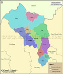
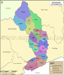
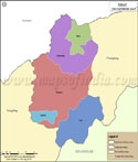
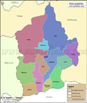
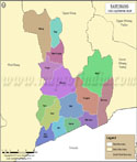
List of Circles in Lohit District

Circle/Taluk NameTotal : Rural+Urban Population (2001) in NumberPin Code
Chowkham20,086792102
LathaoN.A792103
MahadevpurN.A792051
Namsai28,570792103
Piyong9,055792103
Sunpura4,815792111
Tezu31,304792001
Wakro6,809792102


Last Updated on : August 24, 2015