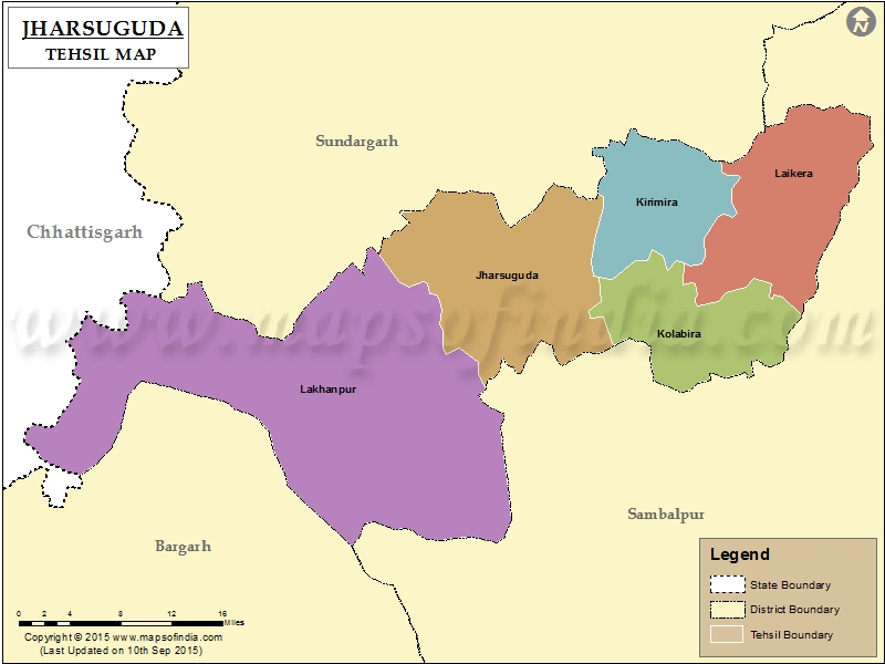
List of C.D. Block in Jharsuguda District | ||
|---|---|---|
| C.D. Block/Police Station Name | Total : Rural + Urban Population (2001) in Number | Pin Code |
| Badma | N.A | 768202 |
| Banaharapali | 39,219 | 768234 |
| Belpahar | 35,972 | 768218 |
| Brajarajnagar | 24,124 | 768216 |
| Jharsuguda | 120,517 | 768201 |
| Kolabira | 33,130 | 768213 |
| Laikera | 91,496 | 768215 |
| Lakhanpur | 32,178 | 768219 |
| Orient | 77,171 | 768233 |
| Rengali | 55,909 | N.A |
Last Updated on :January 14, 2026
