Disclaimer: All efforts have been made to make this image accurate. However Mapping Digiworld Pvt Ltd and its directors do not own any responsibility for the correctness or authenticity of the same.
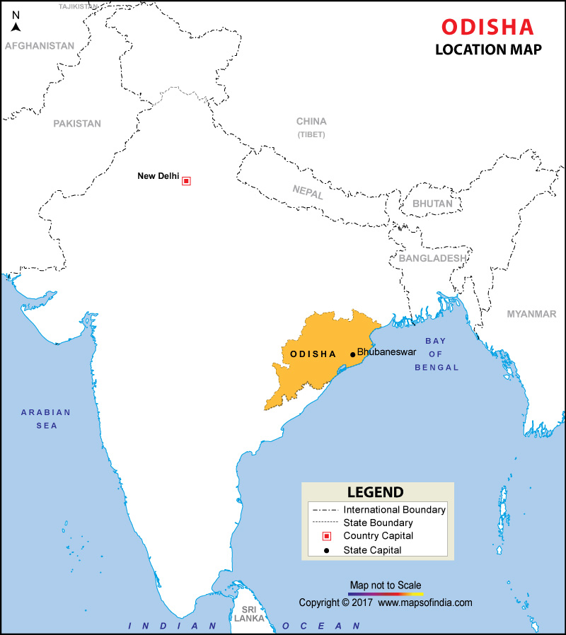
Orissa, the ninth largest state of India is located on the southeastern fringes of the country.
Flanked by Bay of Bengal to its east, it is home to a large number of tourist attractions. Orissa Location Map provides the location of Orissa on the map of India. The map also shows the neighboring states of Odisha and guides the visitors traveling to the state.
Known to be the Kalinga region in ancient times, Orissa has gone through myriad of phases. From Ashoka to Akbar many mighty rulers have reigned this region. A part of Bengal presidency under the British administration, Orissa acquired the status of a province in 1936 after getting separated from Bihar. It got its existing form - area and structure- following the independence of India and acceded the statehood in 1950.
With Bhubaneshwar as its capital it has a number of famous cities of India. Puri - one of the Char Dhams of India is located at the coast of Bay of Bengal in Orissa. It also houses the largest coastal lake in India - Chilka lake. Location Map of Orissa helps the visitors to reach this state encompassing vivid colors of life in itself.