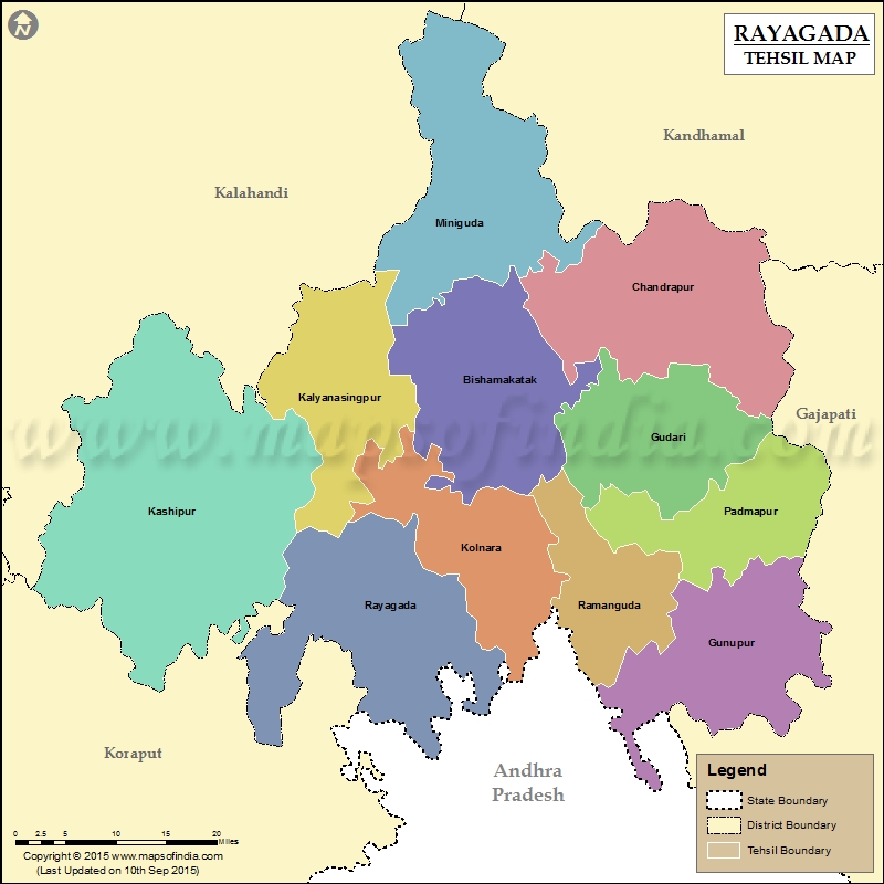
List of C.D. Block in Rayagada District | ||
|---|---|---|
| C.D. Block/Police Station Name | Total : Rural + Urban Population (2001) in Number | Pin Code |
| Ambadala | 45,232 | 765021 |
| Andirakanch | N.A | N.A |
| Bishamakatak | 79,179 | N.A |
| Chandrapur | N.A | 765020 |
| Doraguda | N.A | N.A |
| Gudari | 56,345 | 765026 |
| Gunupur | 99,133 | 765022 |
| Kalyanasingpur | 59,334 | N.A |
| Kashipur | 67,254 | 765015 |
| Muniguda | 66,371 | 765020 |
| Padmapur | 38,806 | 765025 |
| Puttasing | 31,003 | 765022 |
| Rayagada | 234,620 | 765001 |
| Seskhal | N.A | 765017 |
| Tikiri | 53,832 | 765015 |
Last Updated on : February 19, 2026
