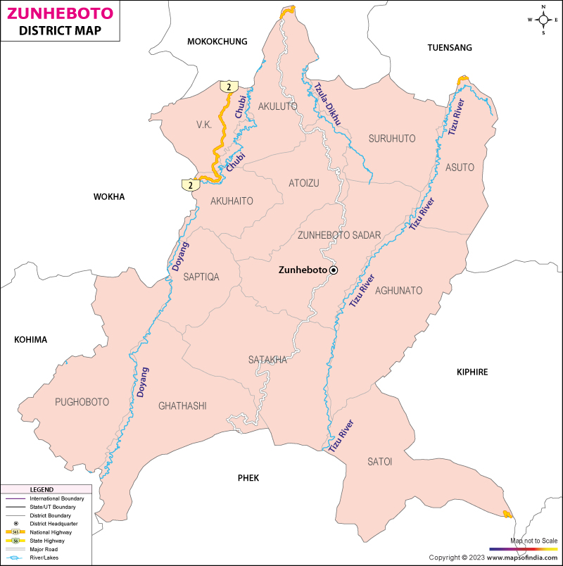
Situated on the geographical coordinates of 94.52° East Longitude and 25.97° North Latitude, Zunheboto district covers a total area of 1255 square kilometers. One of the centrally located districts of Nagaland, Zunheboto is inhabited by the martial Sumi tribe of Nagaland.
The district derives its name from the Sumi dialect in which the first part of the name, "Zunhebo" refers to a flowering shrub which bears white leaves. "To" in the local dialect of the Sumis mean hill top.
The district of Zunheboto is bound on the east by the district of Mokokchung and the district of Wokha on the west. High hills dominate the topographical features of the district. According to the census conducted in the year 2001, the district has a population of 154909 people with the population density of 123.4 per square kilometers. The district has164 villages, 17 towns and 4 blocks. The administrative headquarters of the district is situated at Zunheboto town. The district records an annual average rainfall of 2000 mm. The temperatures vary from 22° Celsius to10° Celsius. With the aid of the government, the district has achieved 59 percent literacy.
The district celebrates the two chief festivals of the Sumis, Tulunih and Ahunah. The festival of Tulunih is celebrated in the second week of the month of July. The district comes alive, during the festive celebrations. Majority of the population of the Zunheboto district are devout Chritians. The economy of Zunheboto is dominated by agriculture. The people who have settled on the banks of the River Tizu are engaged in terrace farming while the rest of the district practices shifting cultivation. Some of the villages under the region of Asuto and Satoi are still underdeveloped.
Last Updated on January 14, 2026
